🇲🇷 Mauritania

Oualata

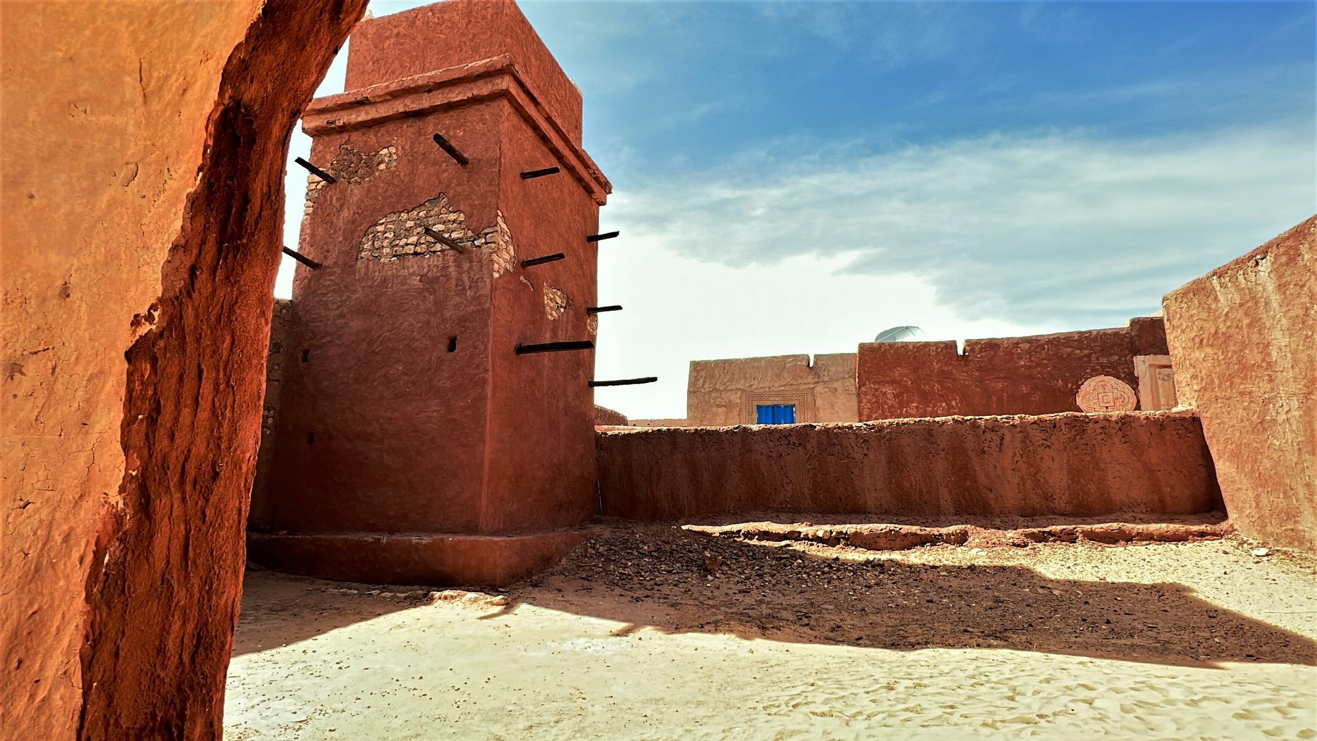
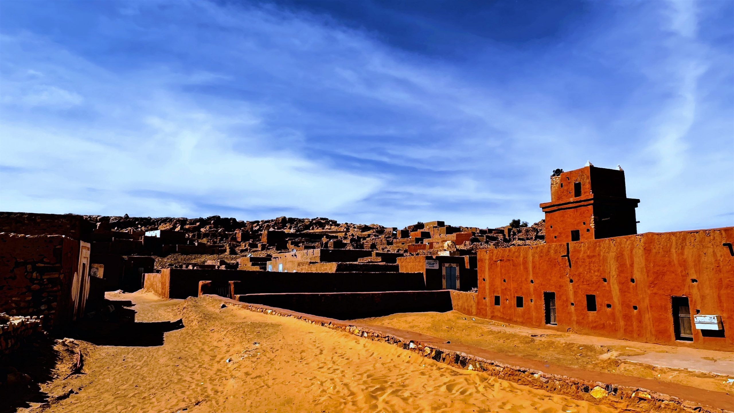
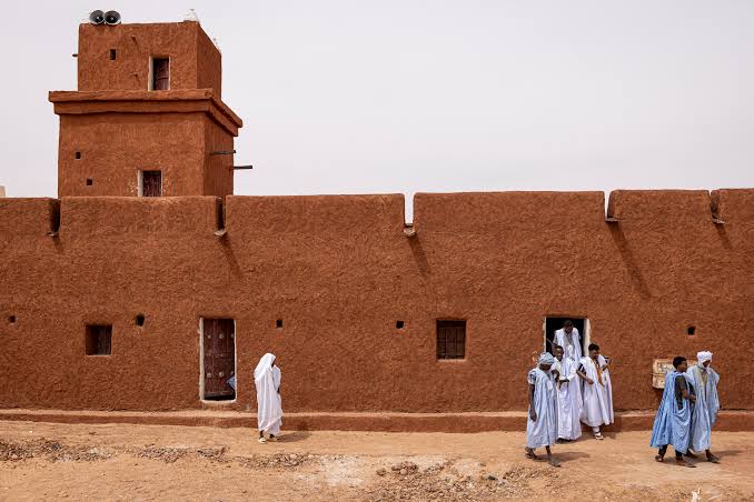
Beauty in the east. Welcome to Oualata — or, as some say, the most beautiful town in Mauritania. It is here, where the famous Ibn Battūta once stayed, that the country's least accessible piece of world cultural heritage is to be found. The ksar lies in the south-east, in the region of Hodh Ech Chargui, east of the Aoukar depression.

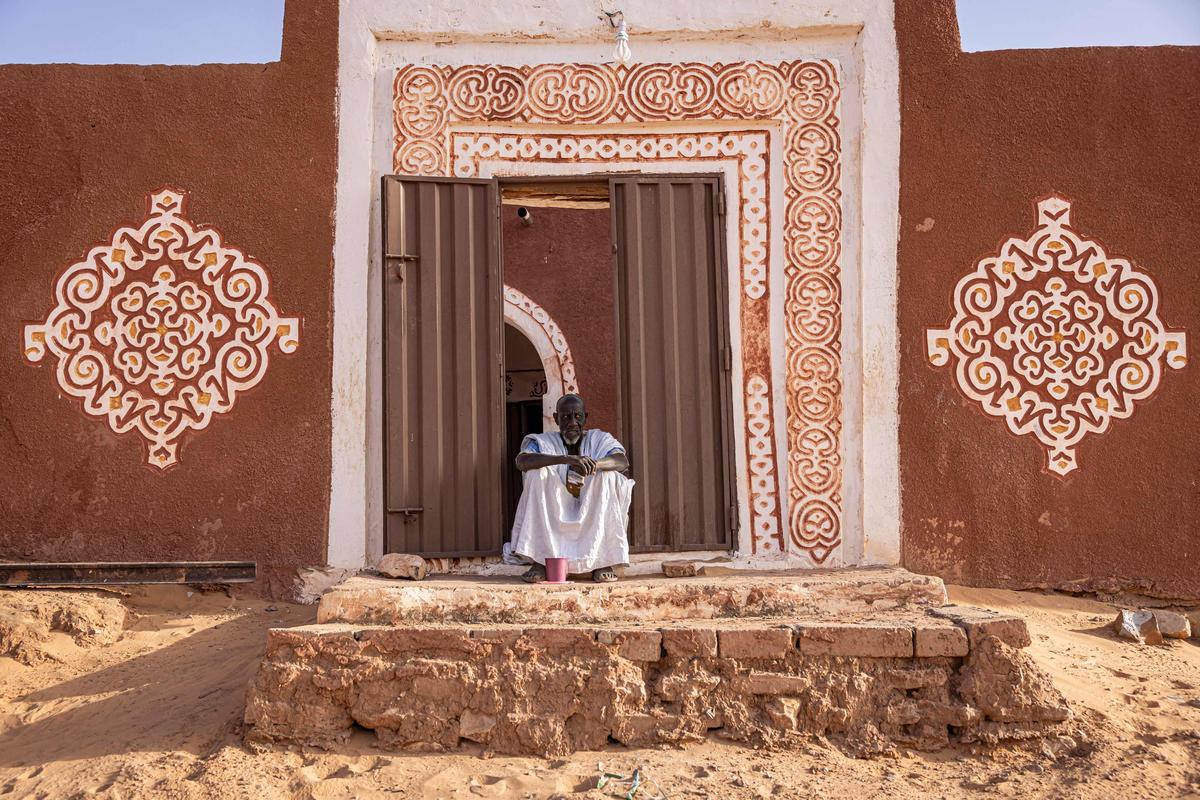
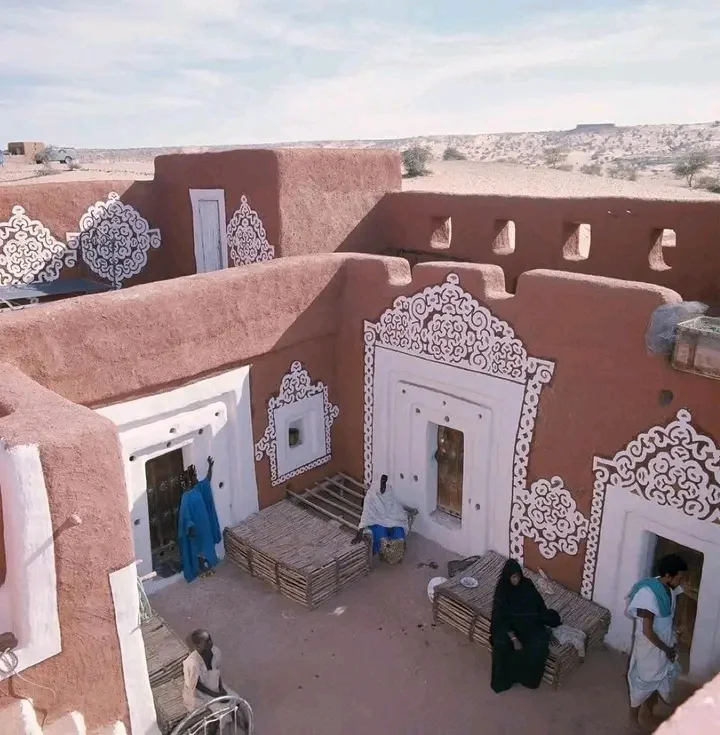
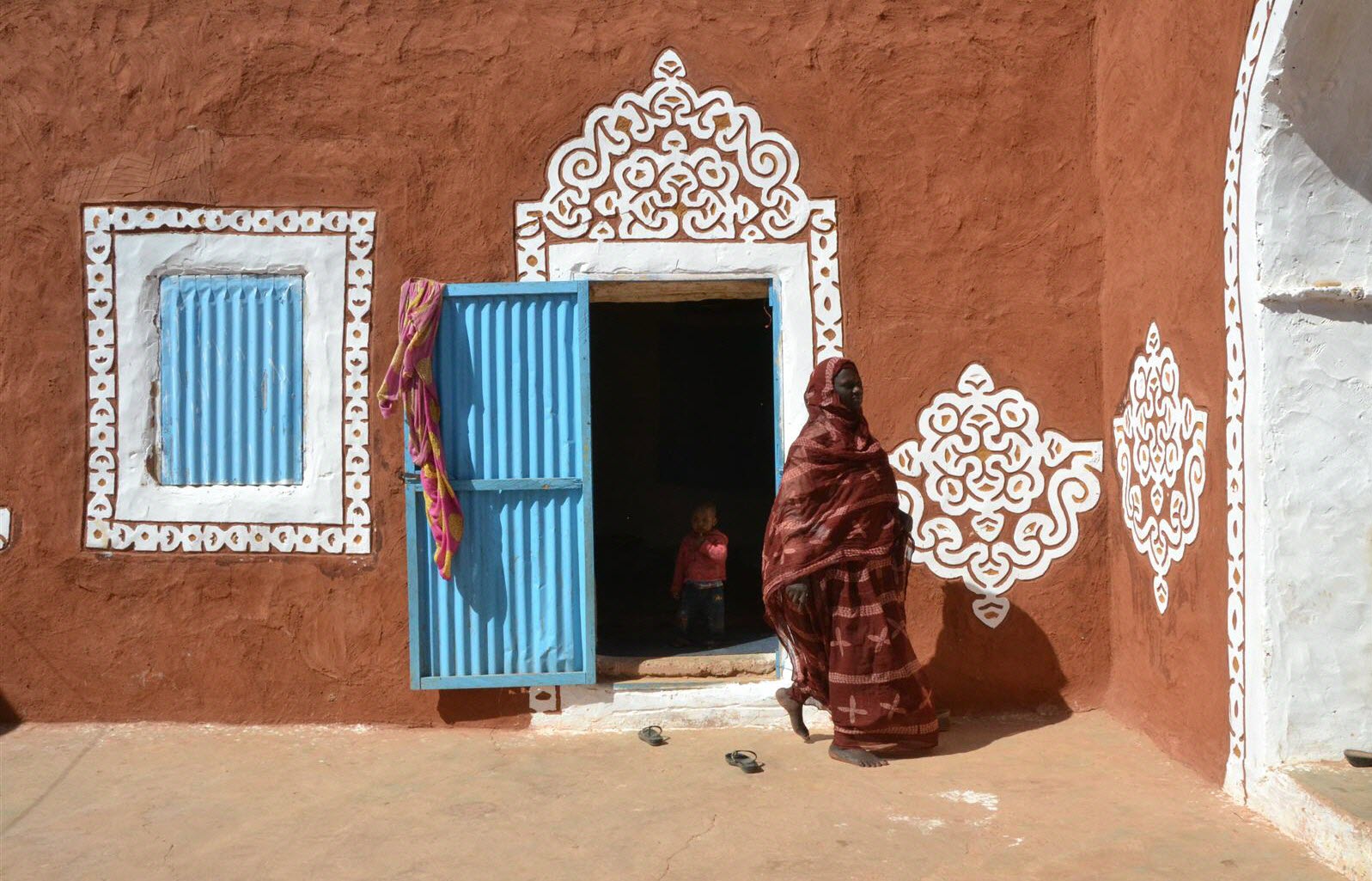
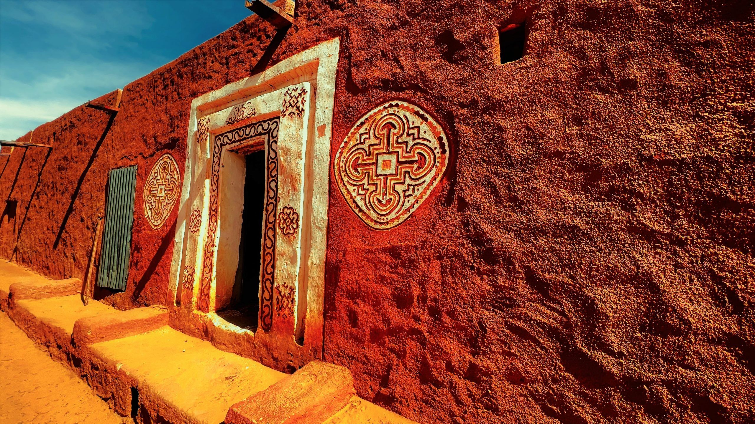
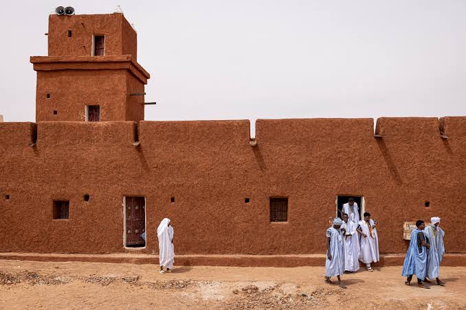
In the 14th century, Oualata was one of the most important towns of the trans-Saharan trade and at the same time a major religious centre. The town was also a favoured departure point for hajj pilgrims. Even today, the many richly decorated clay buildings bear witness to the wealth of the past. The wall paintings and the ornaments on the doors and house walls are characteristic of the style of this south-eastern town of 14,000 inhabitants. Far from being purely decorative, they are held to carry a magical significance.

The history-minded visitor might see the museum of manuscripts. The nearby mosque and the cemetery of Tirzet are also worth the detour. Oualata, moreover, is still very much alive: besides the market and local trade, there is still an important Quranic school which, as an elite institution, is open only to a small circle of students — twenty new ones a year.

Oualata is one of the highlights of our two-week circuit in the south. On site, it is easy to arrange either a camel trek or a 4x4 excursion into the surroundings. Despite its importance, Oualata is not at all overrun by tourists. Be assured, then, that the inhabitants regard your stay as an event.
What to see

Taoudeni Basin — West Africa's Largest Sedimentary Basin across Mauritania

The Taoudeni Basin covers vast parts of eastern and northern Mauritania. It is the largest sedimentary basin in West Africa, with a total area of 1.5 million square kilometres, roughly a third of which — about 500,000 km² — lies within Mauritanian territory. It takes its name from the town and the famous salt mines of Taoudenni on the Malian side of the desert border, the mines that were the destination of the salt caravans for centuries. To travel through the basin is to travel in geological time more than in distance: its source rocks date from the late Precambrian and the Palaeozoic and are extremely rich in organic matter, which is why the Ministry of Energy and Petroleum classes it as a high-potential exploration area for oil and gas; historic test wells were drilled here, such as Abolag-1, which produced significant gas flows during testing. At the surface, the basin offers Mauritania's greatest landscapes of scale: endless plains, hamadas, the long cliffs of the dhars, sand ergs and exposed rock sequences that read like the pages of a book open on hundreds of millions of years, with fossil sites and stromatolites bearing witness to the earliest forms of life. It is also a land of memory: the azalai routes, the salt caravans and the ancient towns along its edges. For travellers drawn to geology and deserts, the basin is not a monument but a small continent, discovered stage by stage.

Tiaret el Wassia (Adrar) — Open Plains on Mauritania's Eastern Margins

In Mauritania the name "Tiaret el Wassia" — literally "the wide Tiaret" — refers to the semi-desert area at the far eastern edge of the Adrar region, in the north of the country, a military zone and an open expanse on the margins of the great sand seas. The name describes the place: boundless width. Here the edges of the Adrar plateau come to an end and the reg and hamada plains begin, running east towards the depths of the Taoudeni basin, broken by scattered dunes and depressions where acacias green after the rains. It has always been a land of pasture and passage: old caravans crossed it towards the north-east and the salt routes, herders led their camels to seasonal grazing, and camps were pitched wherever water was found, then moved on. Its scenery is among the purest the Mauritanian north offers: a full circular horizon without obstruction, light shifting all day over gravel and sand, and nights free of light pollution where the Milky Way stands out entire. Tiaret el Wassia is not a destination of monuments but an experience of space and silence, usually encountered while crossing the eastern margins of the Adrar, where only earth and sky remain.