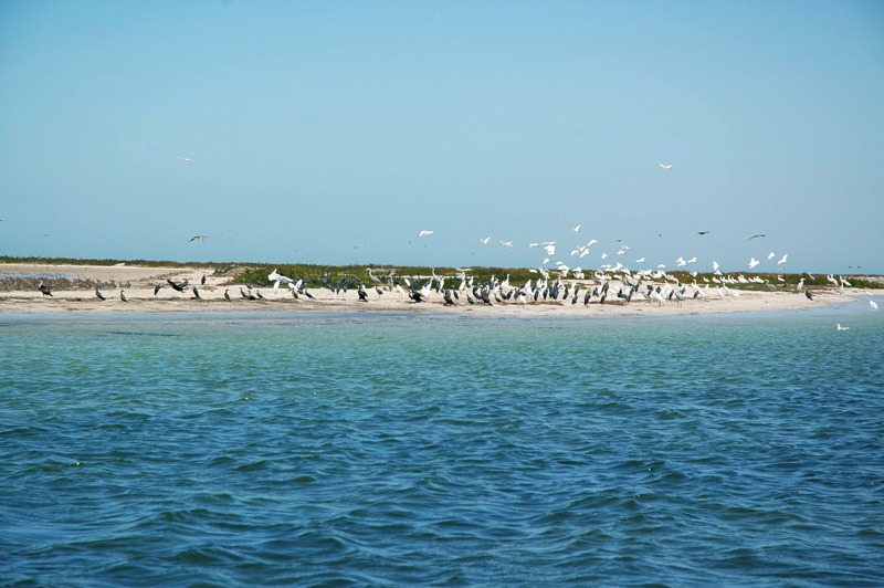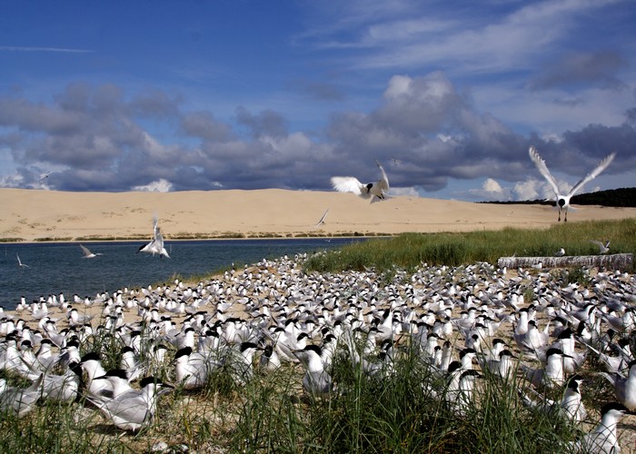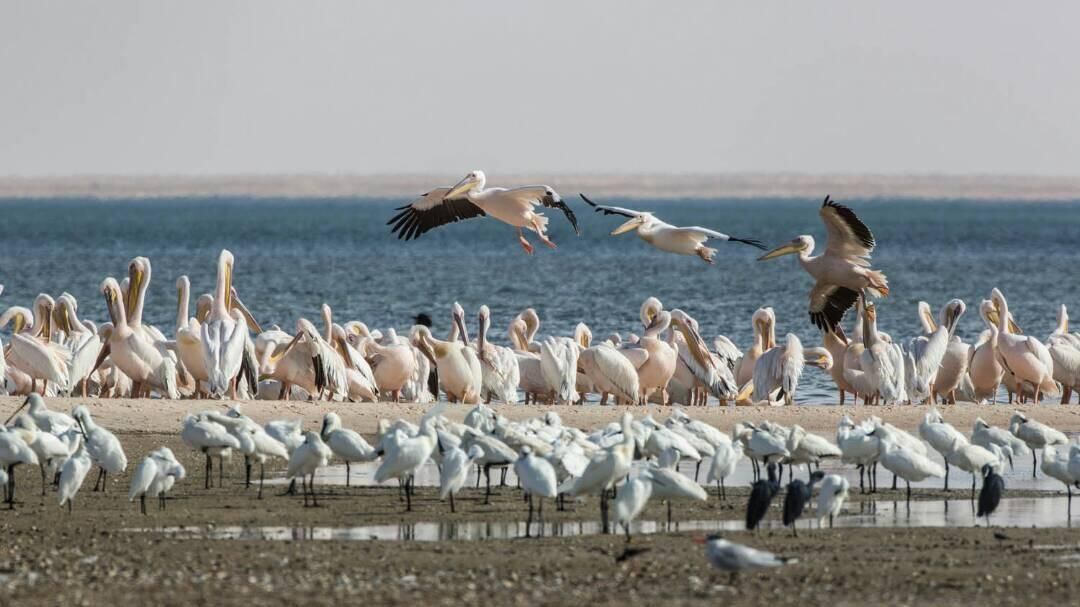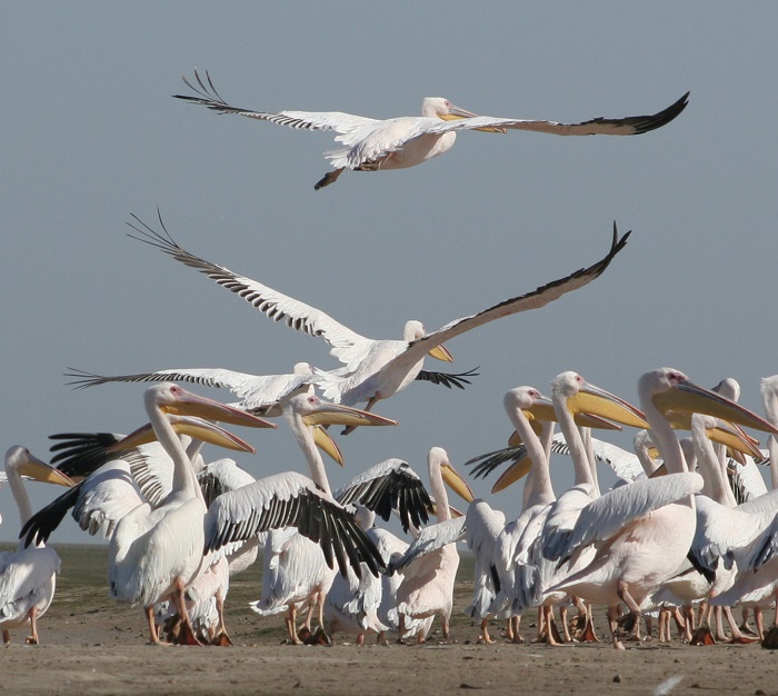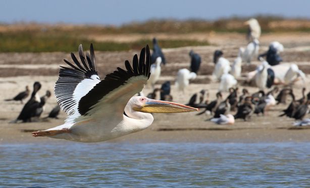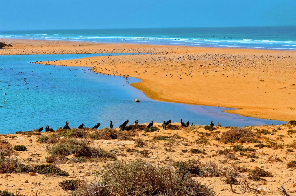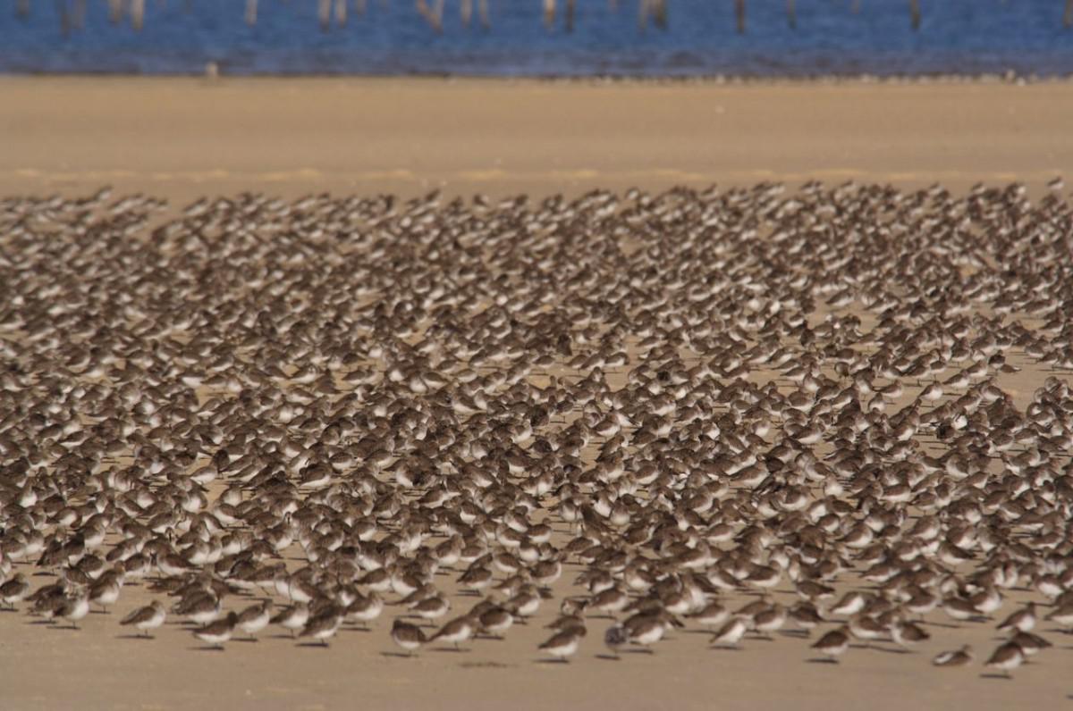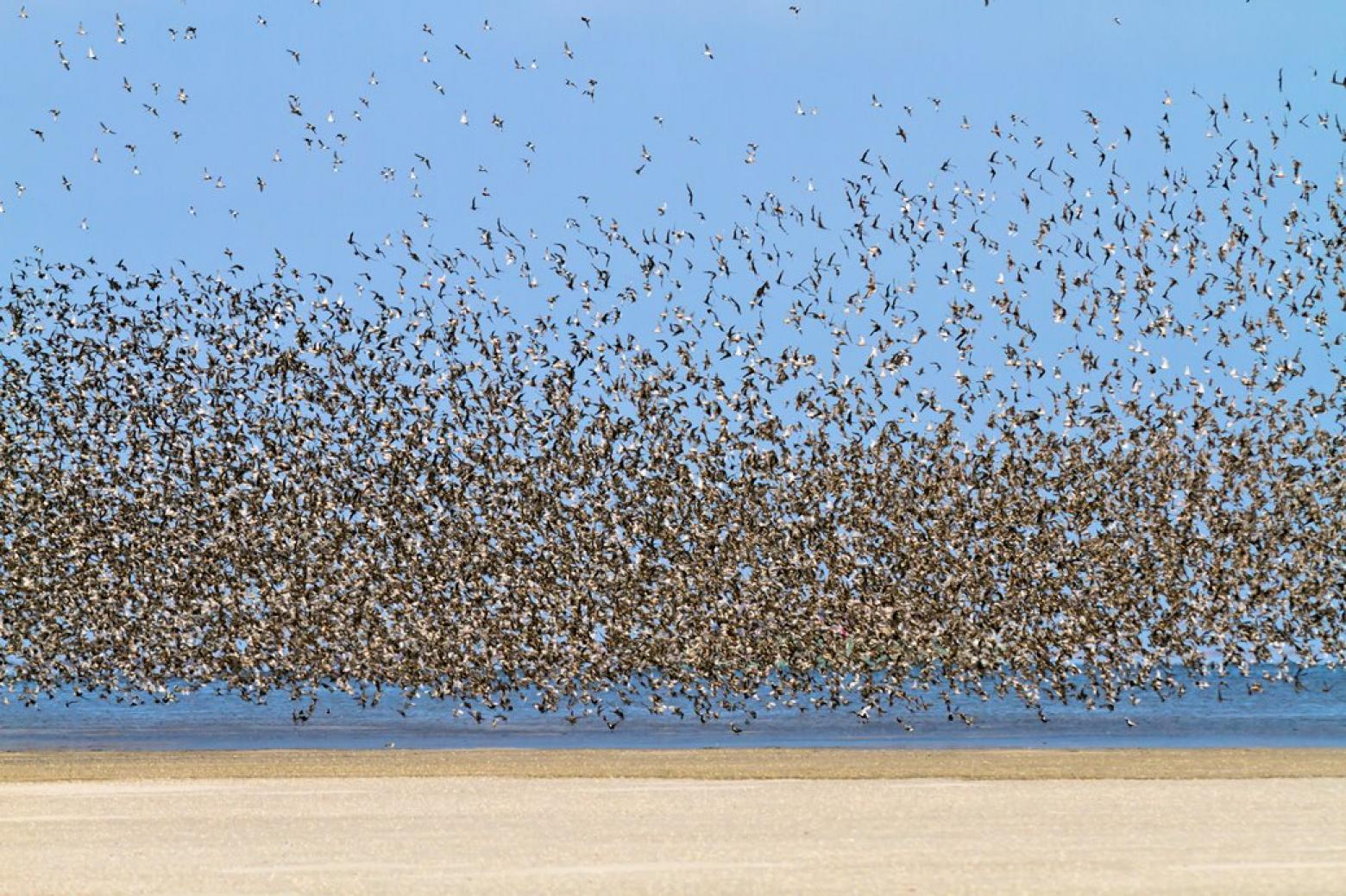
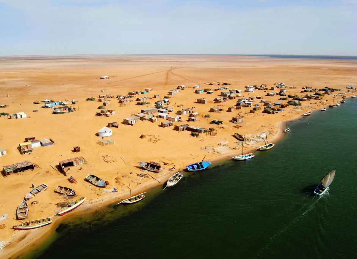
More than two hundred bird species, and as many species of fish. Banc d'Arguin National Park lies about 200 kilometres north of Nouakchott and has been a UNESCO natural World Heritage site since 1989. It runs 180 kilometres from south to north along the Atlantic coast, from Cape Timiris at Mamghar up to the Baie du Lévrier, where the island of Tidra lies. Here the desert and the ocean meet in a single band of shallow water, mudflats and islands — and here millions of migratory birds come down from every corner of the world. Anyone who comes only for the desert misses that Mauritania is also a coastal country.
Banc d'Arguin
What to see
Arkeiss and Cape Tafarit
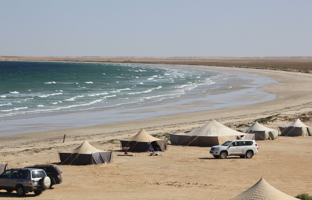
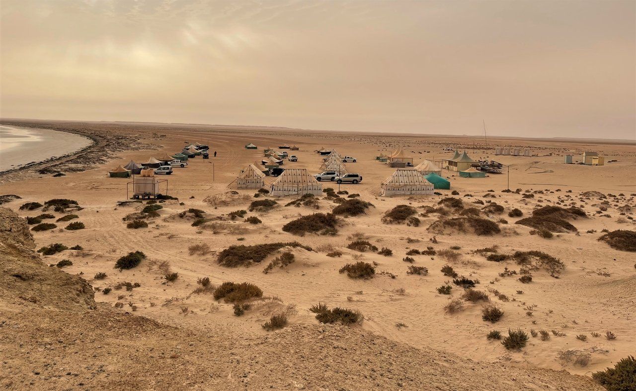
If your time is limited, Arkeiss is arguably the village to visit in Banc d'Arguin National Park. A charming settlement nestled at the foot of Cape Tafarit, between cliffs and beaches, it offers a handful of camps that invite you to swim, fish, watch birds or simply walk. Out of season, when its inhabitants move to town — mainly for their children's schooling — the village takes on the unusual air of a ghost town. In short, an essential stop for anyone wishing to discover the park.
Iwik
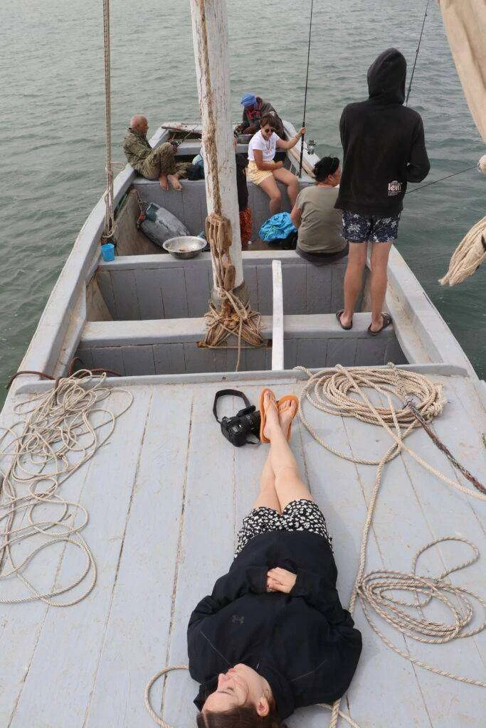
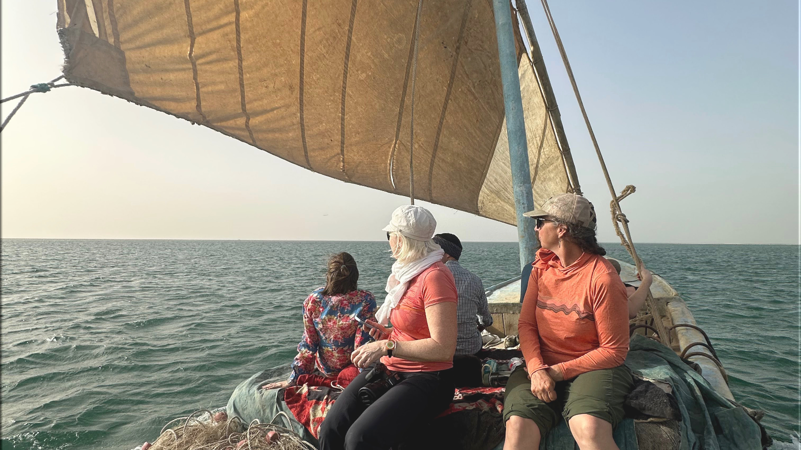
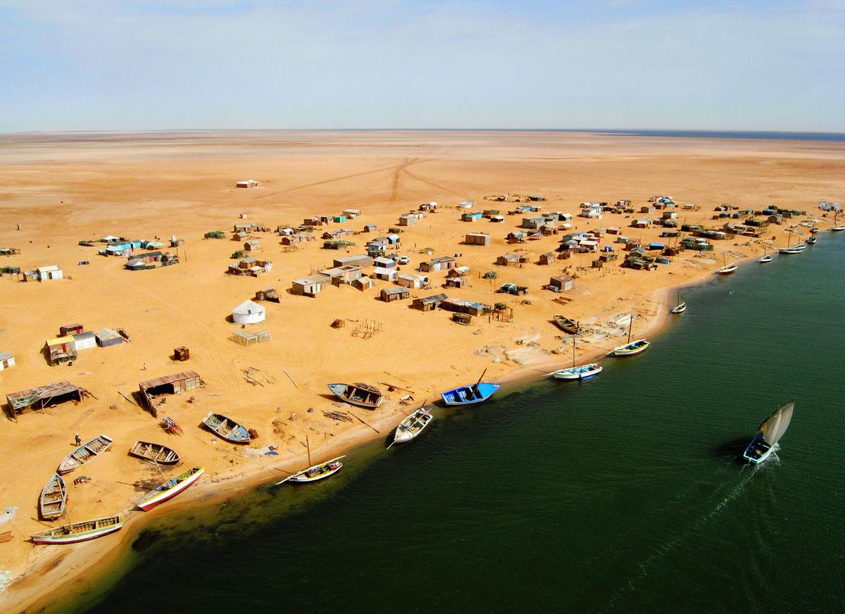
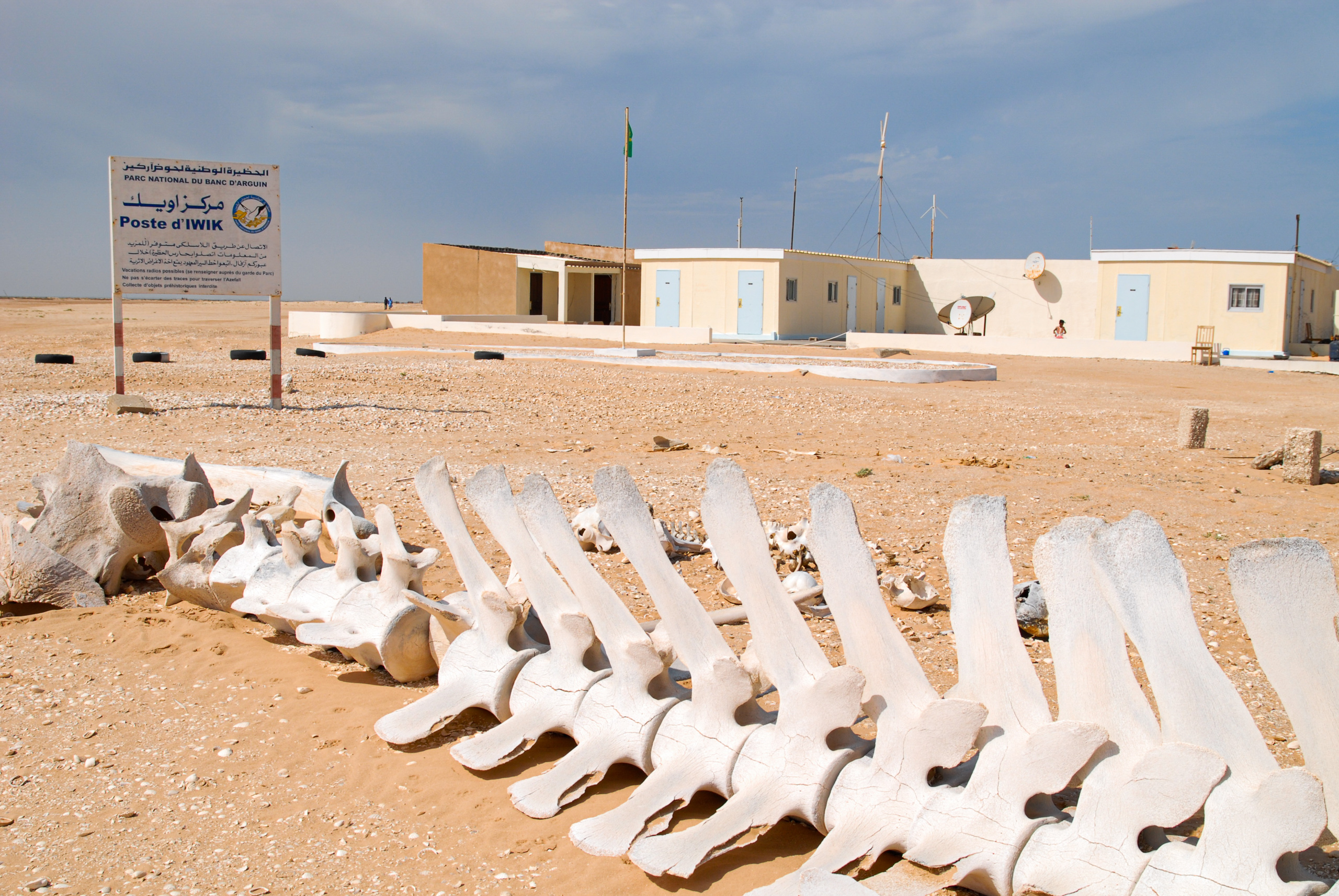
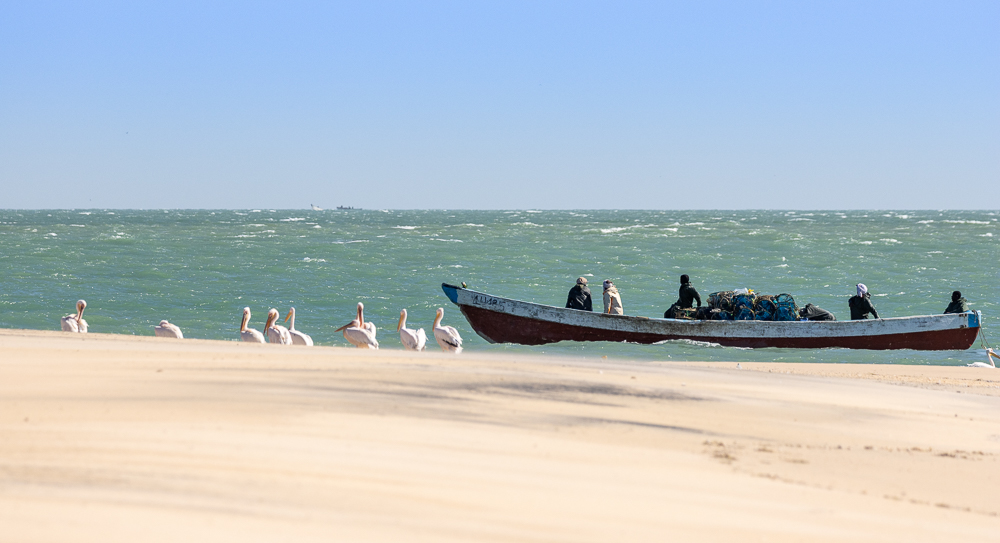
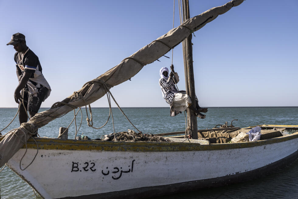
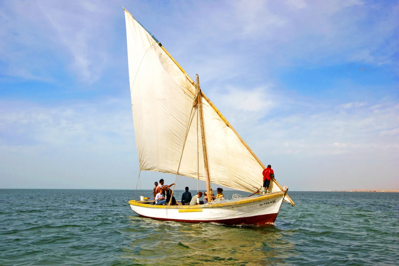
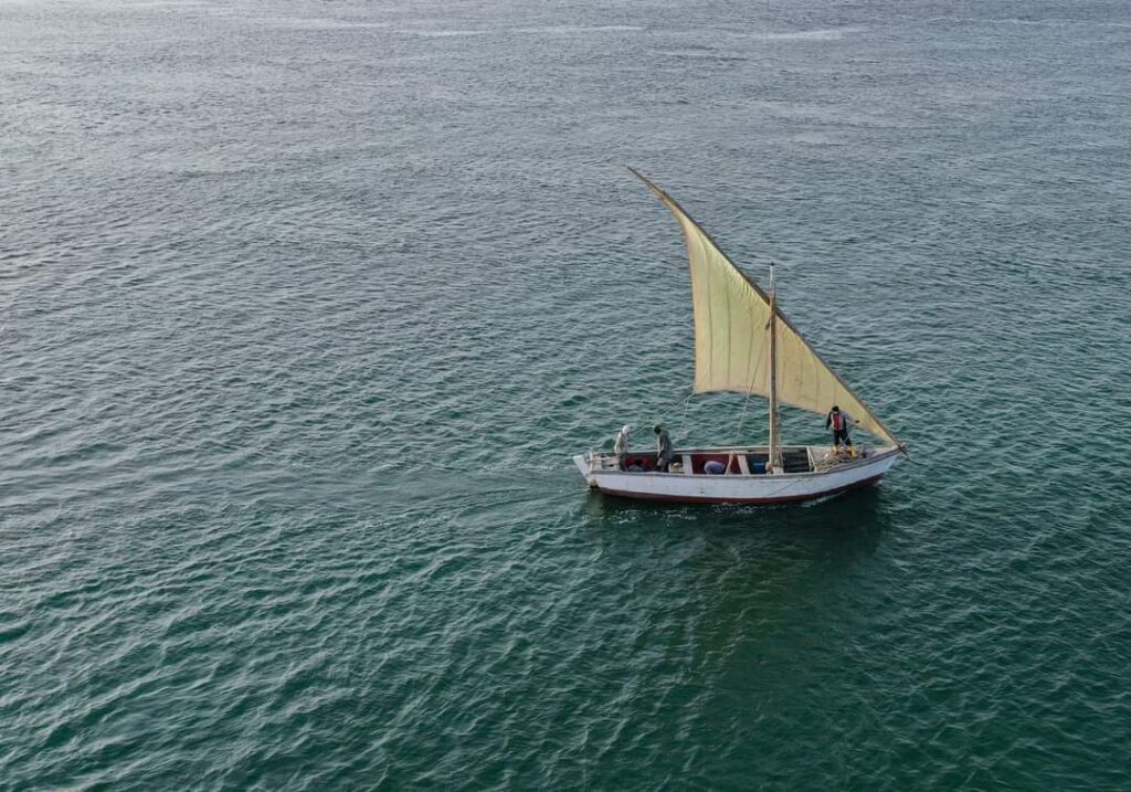
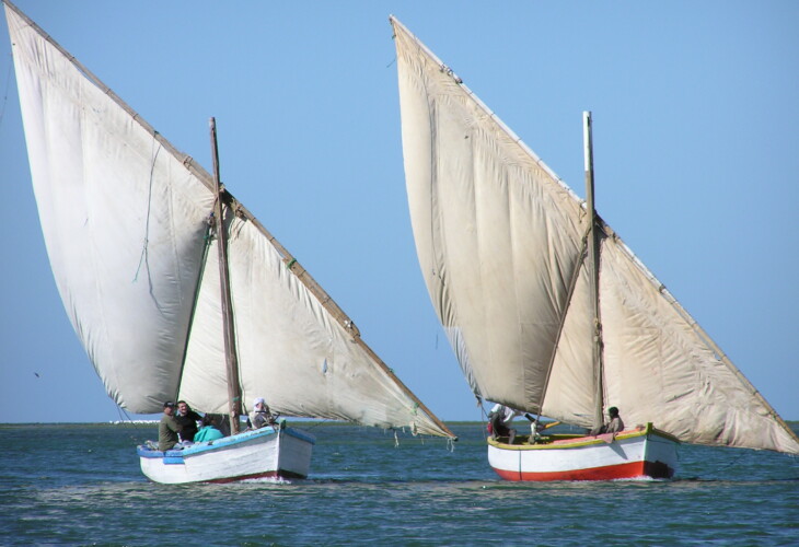
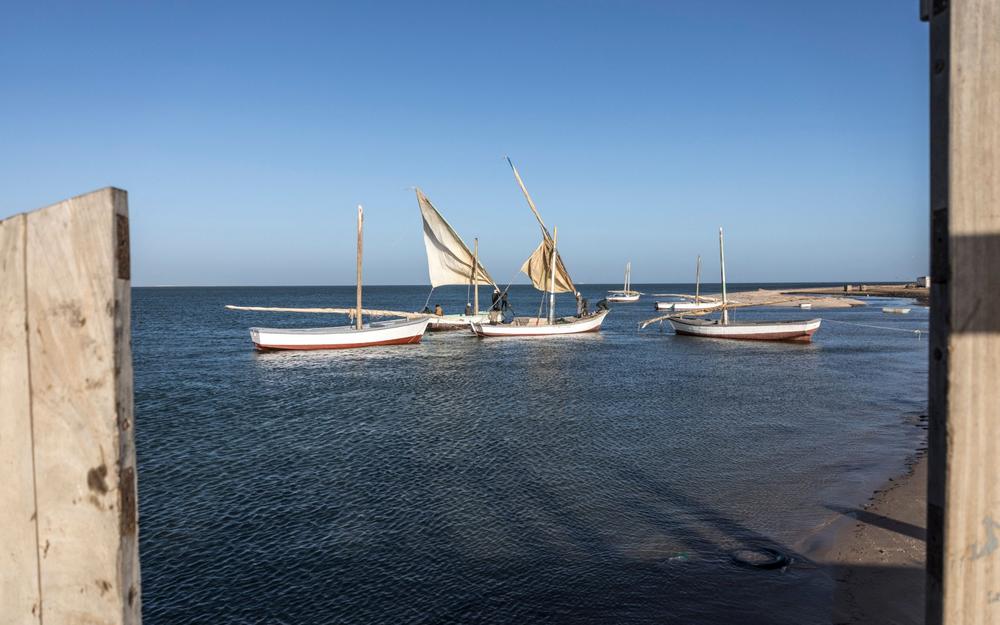
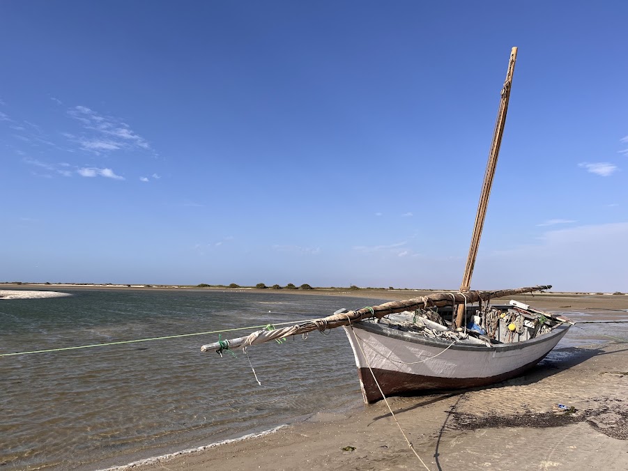
Iwik (also spelled Iouik) is a coastal village in Mauritania, best known as the main gateway to Banc d'Arguin National Park. Set on a small peninsula in the Dakhlet Nouadhibou region, this village of traditional Imraguen fishermen is a world-class site for watching migratory birds. It lies at the heart of this UNESCO World Heritage site, where the Sahara meets the Atlantic: its mudflats and shallow waters host millions of birds wintering from Europe and Greenland — pelicans, flamingos and spoonbills. The village is home to the Imraguen community, which preserves unique ancestral fishing techniques and traditionally sails in engineless boats known as lanches. Iwik faces the island of Tidra, just 3 km away, and lies close to the Kiaone islands.
 3 ⬚
3 ⬚
Cape Timiris
Set on Mauritania's Atlantic coast, Cape Timiris marks the southern limit of Banc d'Arguin National Park. Its history is closely bound to that of the region, from the Neolithic to the present day, by way of the ancestral way of life of the Imraguen fishermen. During the Neolithic (7500–2500 BC), when the coastline enjoyed far wetter conditions, large shell middens formed here — such as the Timirist — several metres high and evidence of very ancient human occupation. From the 15th century onwards, the surrounding coast, and in particular the nearby island of Arguin, saw the passage of the Portuguese, Spanish, Dutch and French. Cape Timiris remains today a stronghold of Imraguen culture, a community that maintains an ancestral and sustainable form of fishing, working with dolphins to track shoals of golden mullet. In the 20th century, and especially in the 1950s, the site was the subject of major anthropological and archaeological exploration.
Nouamghar
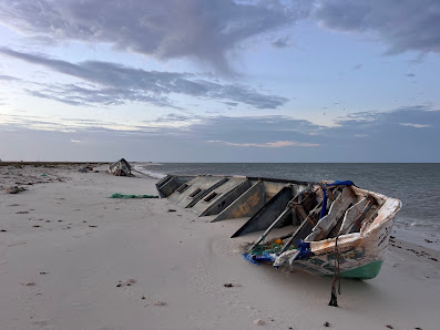
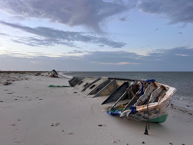
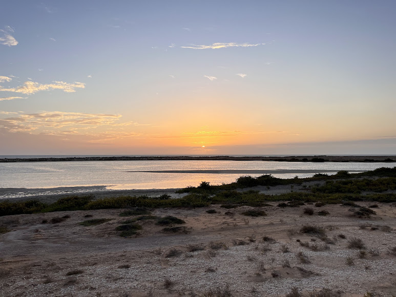
Nouamghar is a traditional and thriving fishing port, about 150 km north-north-east of Nouakchott at the entrance to Cape Timiris. An ancient fishing technique is still practised here, in which dolphins drive shoals of fish towards the shore, where they are caught in nets prepared for the purpose — a cooperation between people and dolphins whose origin remains unknown. The village is the main access point to Banc d'Arguin National Park, a World Heritage Site. Its beach is the most popular draw for swimmers, while the nearby desert offers beautiful sunsets over the Atlantic. Other highlights: driving along the beach and seeing the baleen whale skull.
Gallery