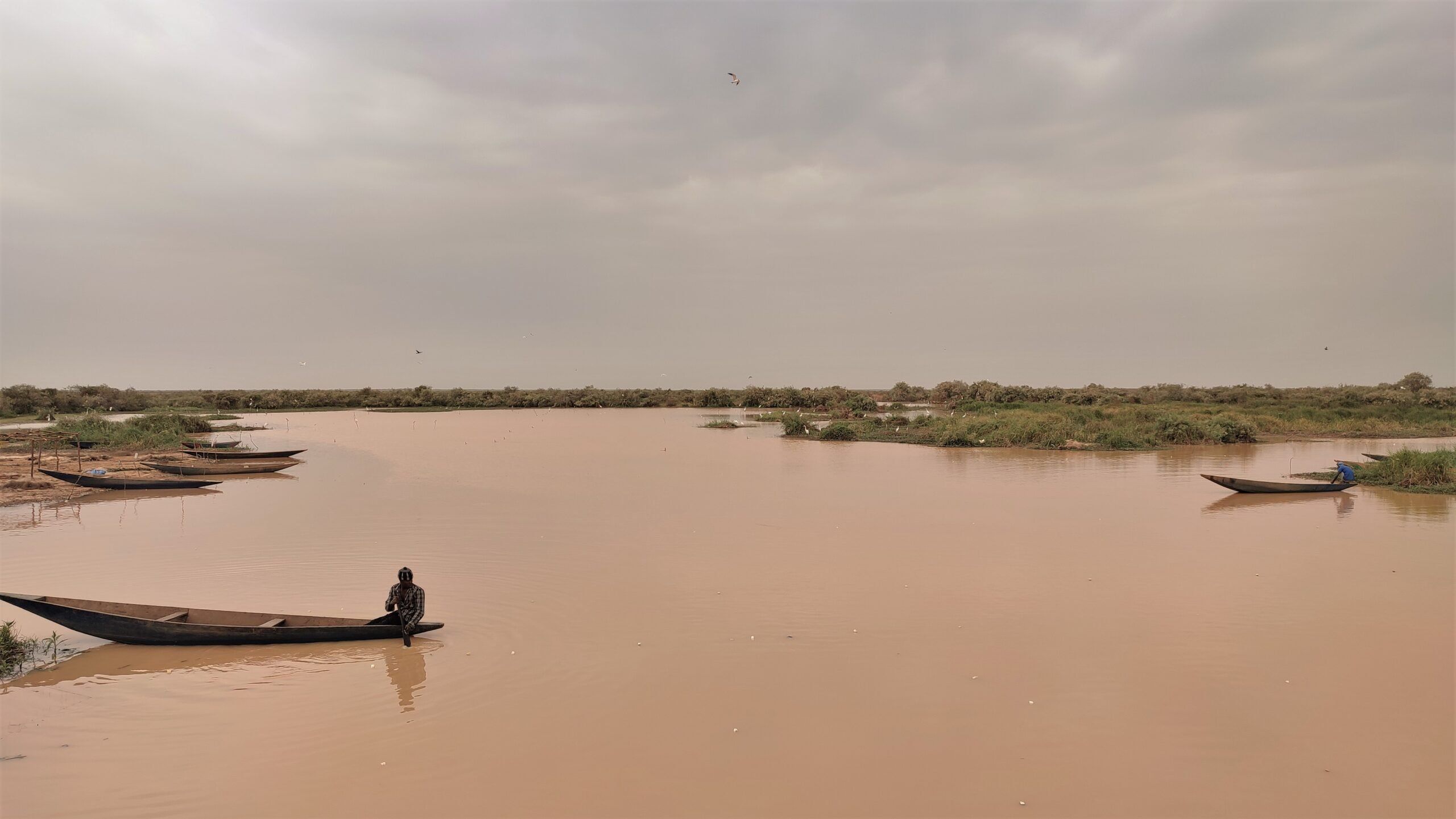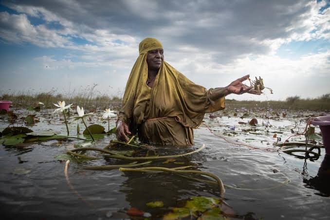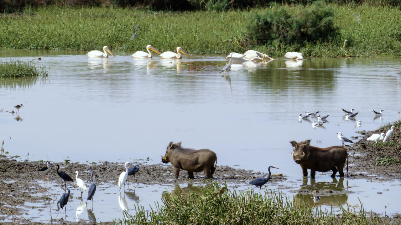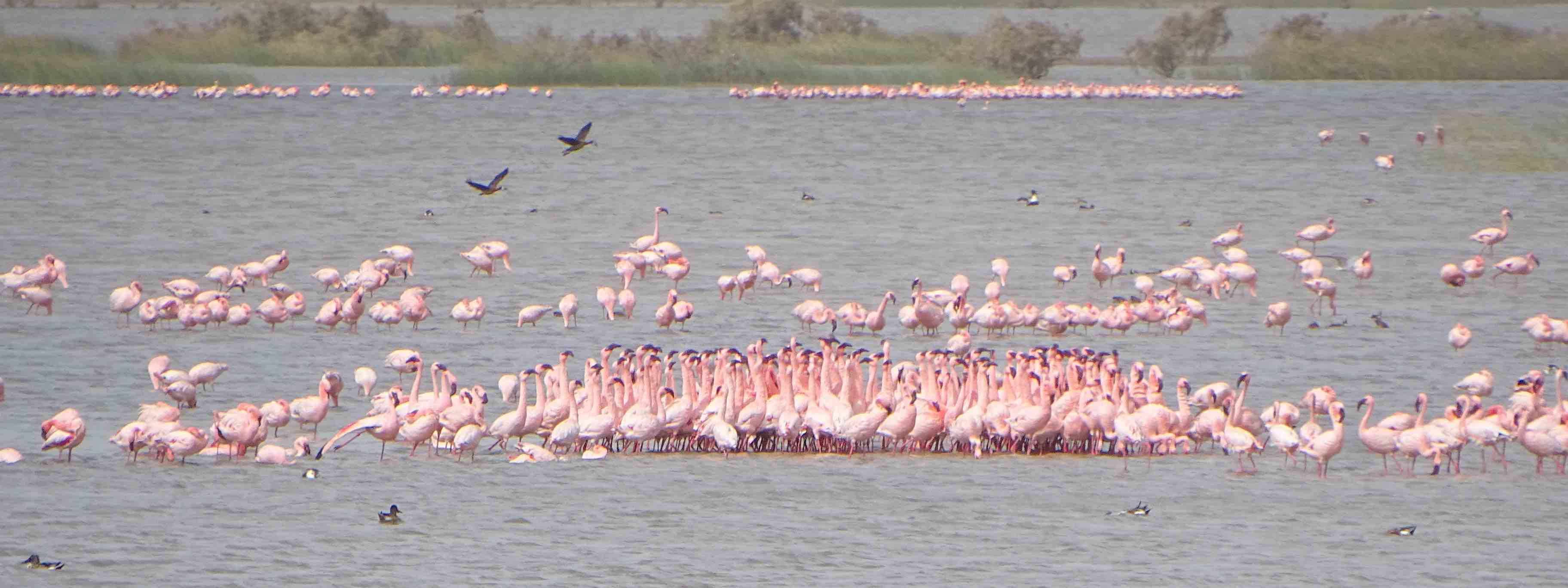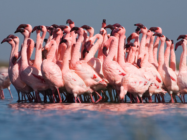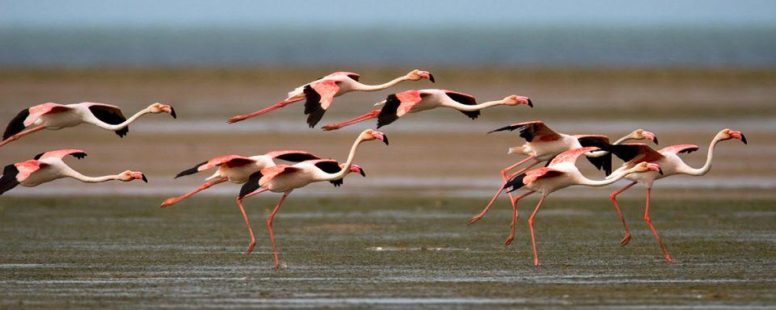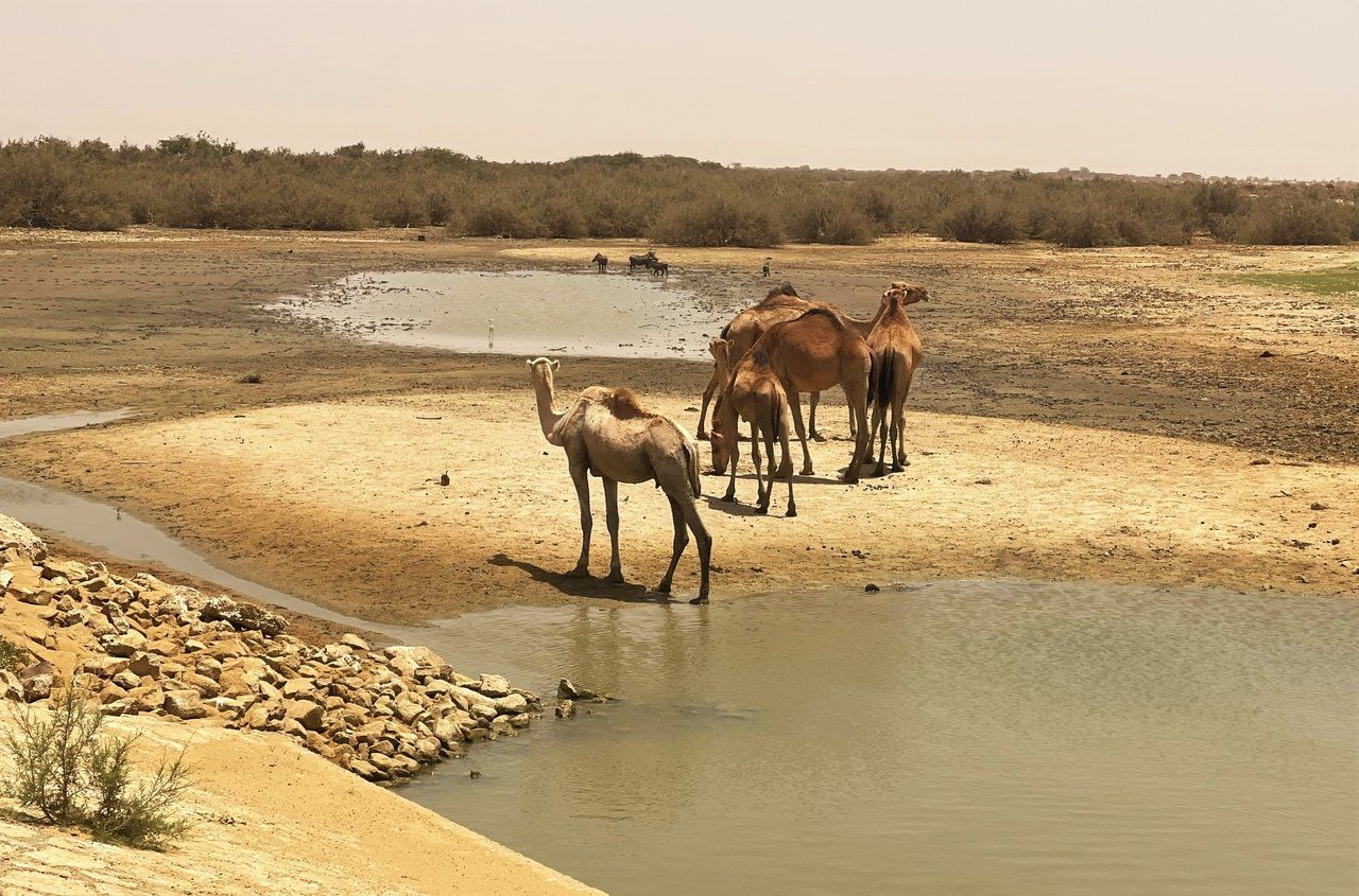
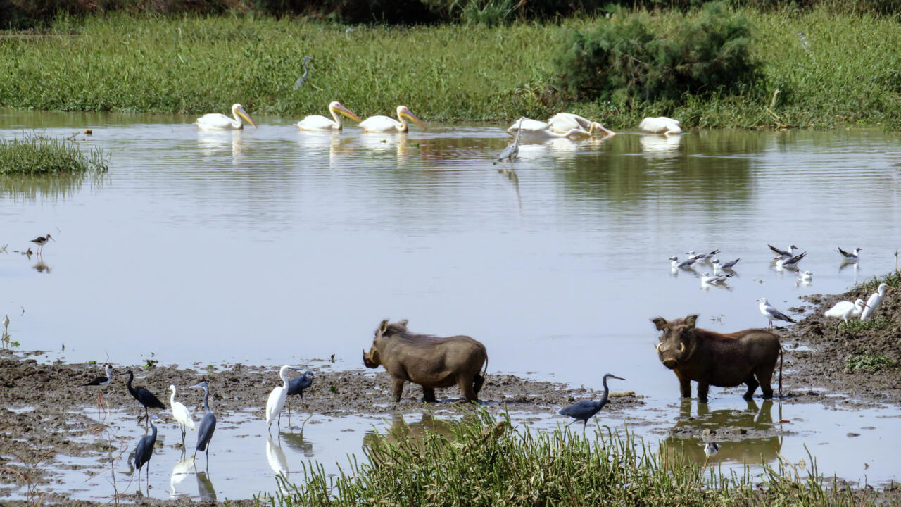
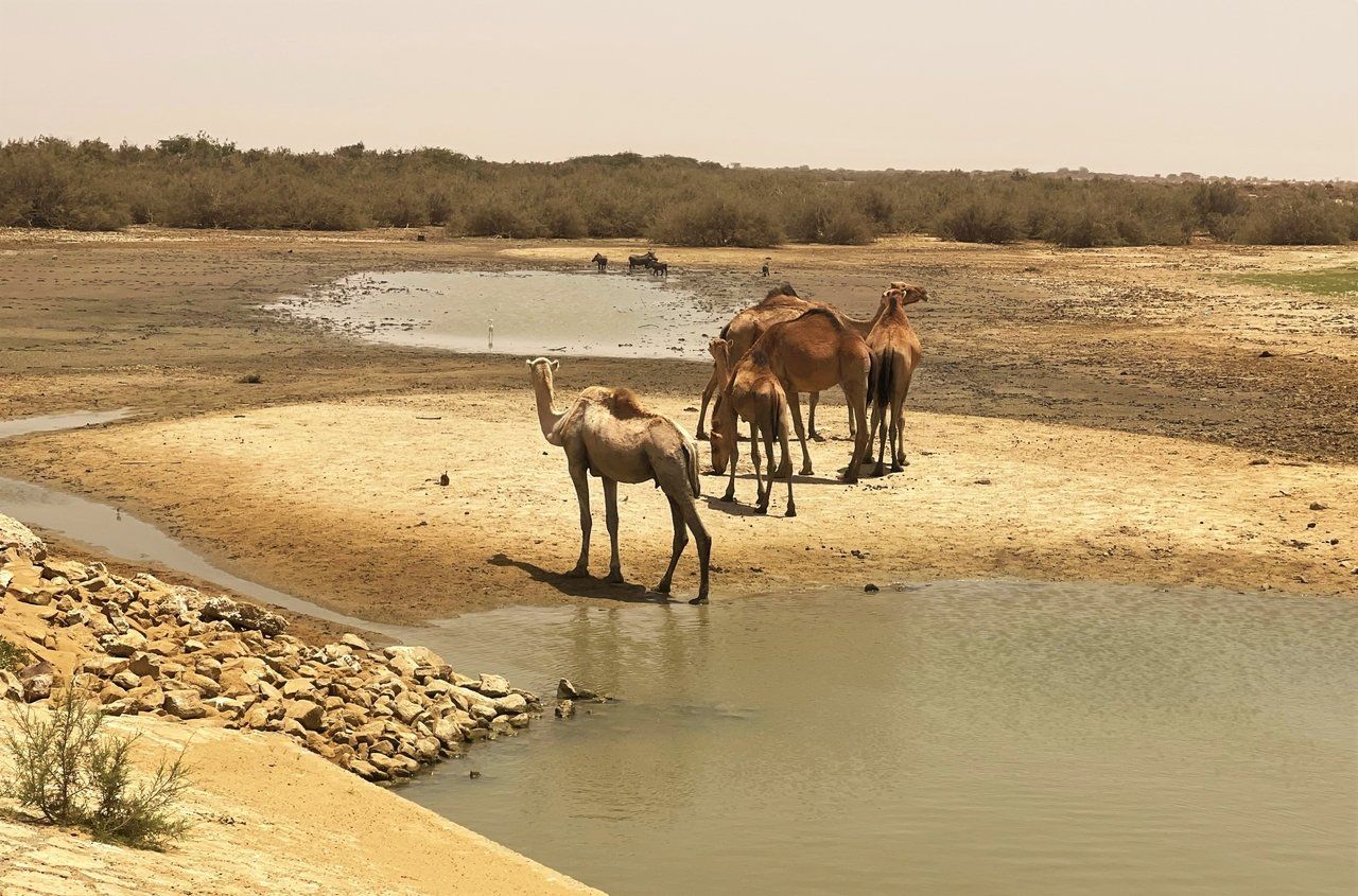
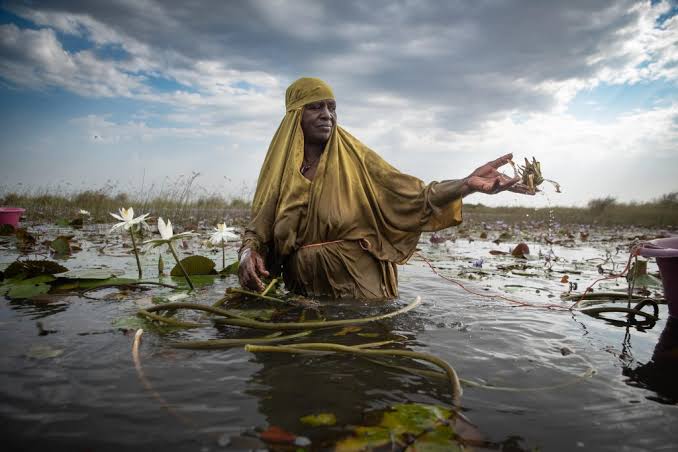
Diawling National Park lies in the far south of Mauritania, along the Senegal River, and covers some 130 km² of exceptional biodiversity — the country's leading destination for safari and nature tourism. Its scenery shifts with the seasons, moving between flooded plains, open water and saline flats, and it draws vast numbers of resident and wintering birds arriving from Europe. Beyond the birdlife, visitors can watch hordes of warthogs, herds of zebu cattle and camels, and even crocodiles and servals. The park is not only wildlife: it also offers a close look at the traditional fishing practices of the communities living along the delta, an ancient relationship with the river and its waters. Diawling is usually visited on a two-day trip from Nouakchott. The first day is given over to the capital and the meeting of cultures within it — the fishing port at Sebkha, the camel market, the traders and taxi drivers, and Mauritanian cuisine — before a three-hour drive south the next morning brings you to the reserve on the banks of the Senegal River.
🇲🇷 Mauritania
Diawling National Park
What to see
Diama Border Post and Dam — The Calm Crossing into Senegal
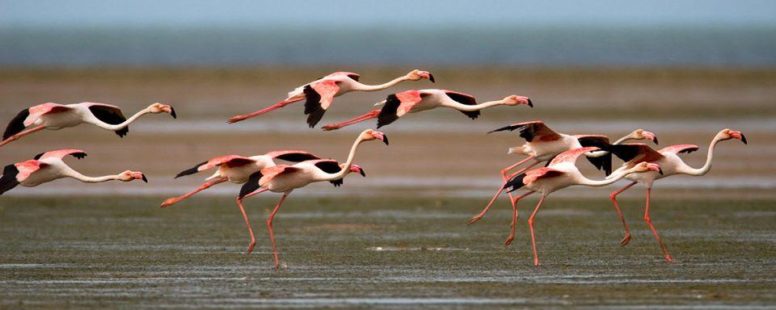
There are few borders you cross while watching birds — Diama is one of them. The calmest crossing between Mauritania and Senegal merges with the Diama dam, a strategic structure built on the Senegal River and managed by the OMVS: it blocks the intrusion of salt water into farmland, secures freshwater reserves for irrigation and supplies 100% of the city of Nouakchott, while its deck serves as a toll road bridge between the two countries. Travellers strongly prefer it to Rosso, known for long waits and hassle. From Nouakchott the road runs due south, and the last 40 kilometres are a dirt track skirting Diawling National Park — kingdom of pelicans, flamingos and the waders of the delta — so a high-clearance vehicle or 4x4 is strongly advised, especially in the rainy season. Allow around three hours for the formalities: roughly two hours on the Mauritanian side (clearing the vehicle's passavant at customs, then passport registration with the border police), the bridge toll, usually 5,000 to 10,000 CFA francs depending on the season and vehicle, and about an hour on the Senegalese side (passport stamps and the tourist passavant for the vehicle). From there, Saint-Louis lies just 27 kilometres away.
Port of Ndiago — Mauritania's Southern Gateway on the Atlantic
At the far south of Mauritania, where the coast ends at the maritime border with Senegal, stands the port of Ndiago: a major multipurpose facility some 220 km south of Nouakchott and 40 km from Keur Macène. The state has invested nearly 352 million dollars in its basic infrastructure, and the government has announced its intention to hand management and operation to international operators through a public-private partnership, with the platform ultimately designed to handle around 600,000 tonnes of goods a year. The complex was conceived as fully versatile: a naval base to strengthen the Mauritanian navy and secure the exclusive economic zone, a landing quay for artisanal and industrial fishing, a commercial quay to relieve the ports of Nouakchott and Nouadhibou, and a shipyard for repair and maintenance. Its immediate proximity to the cross-border Grand Tortue Ahmeyim (GTA) gas megaproject, shared by Mauritania and Senegal, positions it as the natural logistics base for the hydrocarbons sector in the south, while the project also plans to develop river transport on the Senegal River, opening new trade routes towards the country's agricultural heartland and on to Mali. For the visitor, Ndiago is the modern face of a region of river delta, the Diawling park and beaches tourism has yet to reach.
 3 ⬚
3 ⬚
Keur Macène (Trarza) — Mauritania's Breadbasket and the Diawling Delta
Keur Macène is a small town and a department of the Trarza region, in Mauritania's far south-west, about 183 km south-west of Nouakchott and 60 km west of Rosso. It sits directly on the Senegalese border, with the Atlantic closing it to the west, and comprises three communes: Keur Macène, the administrative seat, Mbalal, and the coastal commune of Ndiago. The area is sometimes called Mauritania's breadbasket: the Aftout Es Sahéli canal is the artery feeding its farming schemes, watering thousands of hectares of rice and vegetables — more than 12,000 hectares under cultivation — alongside substantial livestock rearing and both sea and river fishing at Ndiago and in the villages along the river. For travellers, however, the draw is the nature: a large part of Diawling National Park lies within this department, where the fresh water of the river meets the ocean in a true delta, a refuge for migratory birds, warthogs and many rare species. The climate, softened by cold ocean currents, is humid and relatively mild compared with the rest of the country — provided you accept the mosquitoes, which are dense during the rainy season. Flooded rice fields, river channels, coastal dunes and fishing villages: this is the greenest, most watery face of Mauritania.
Gallery