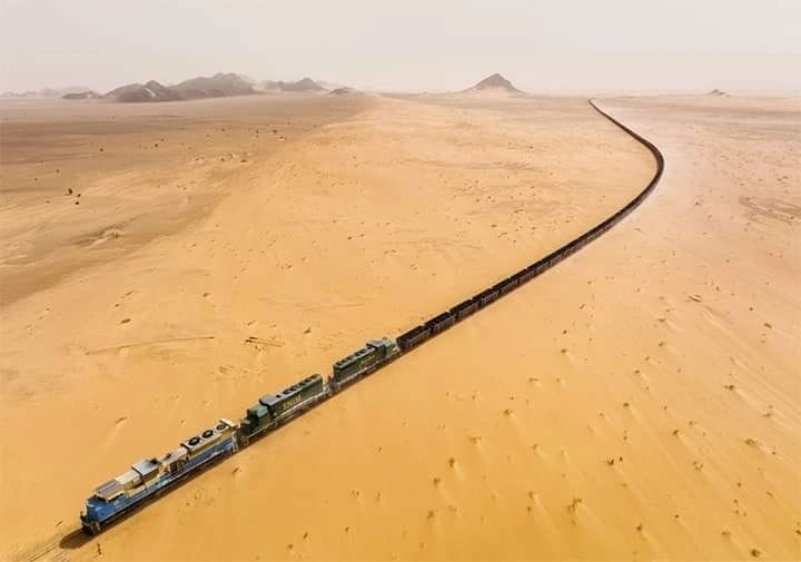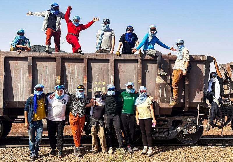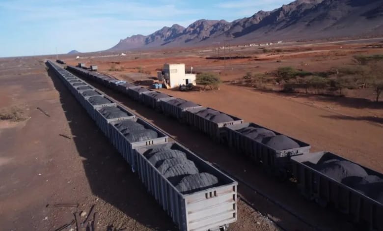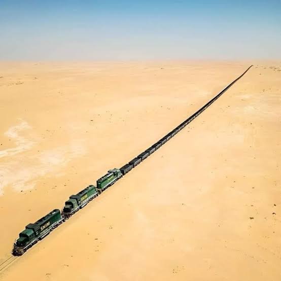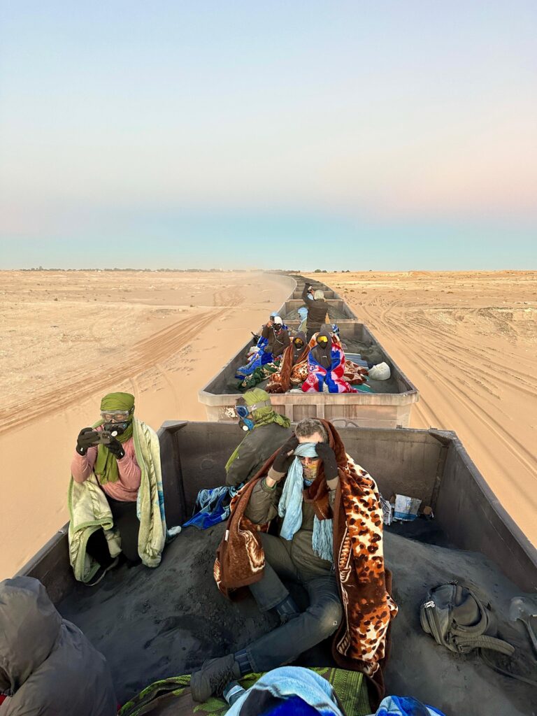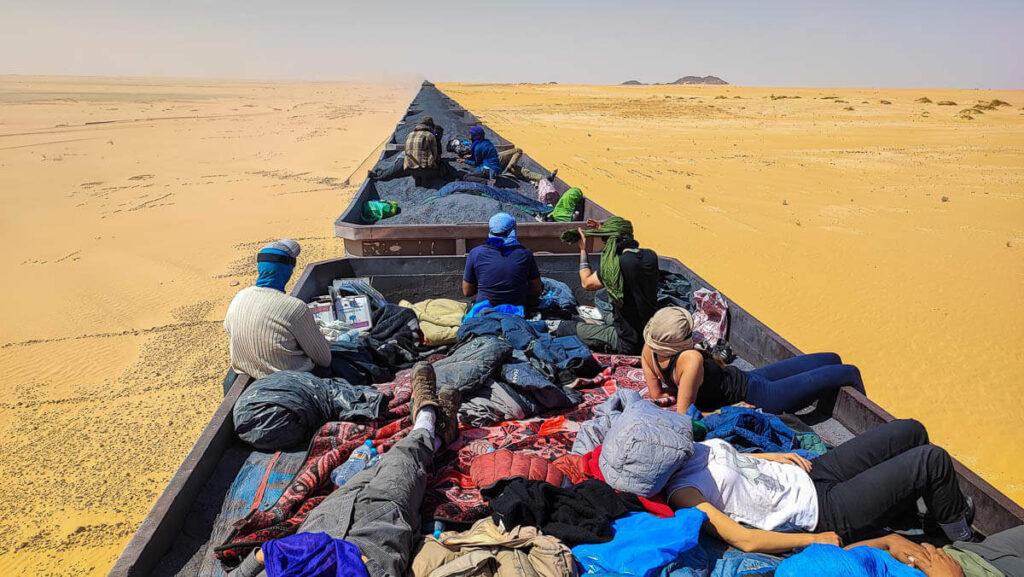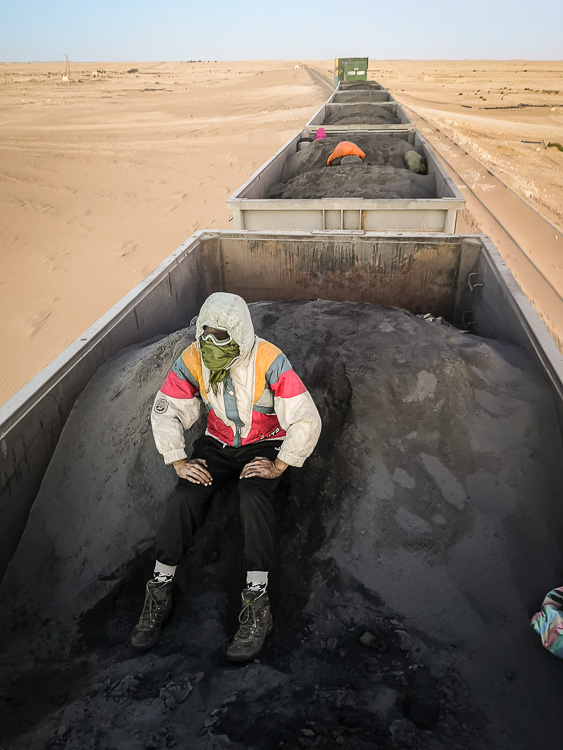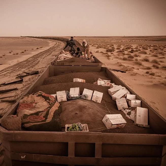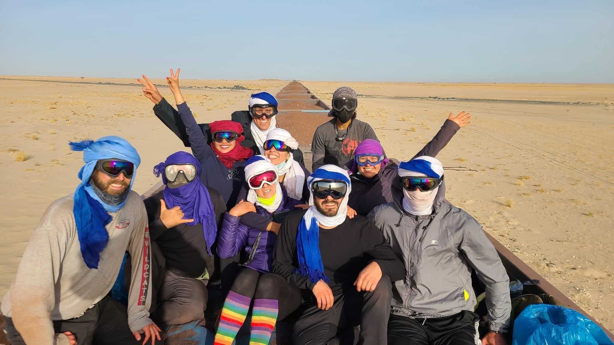
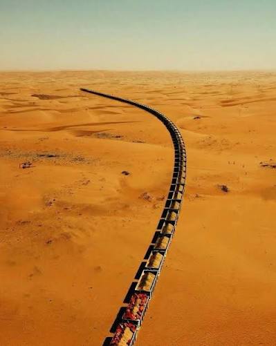
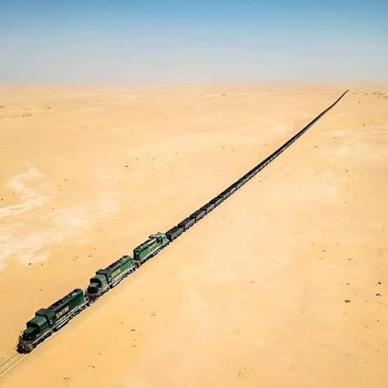
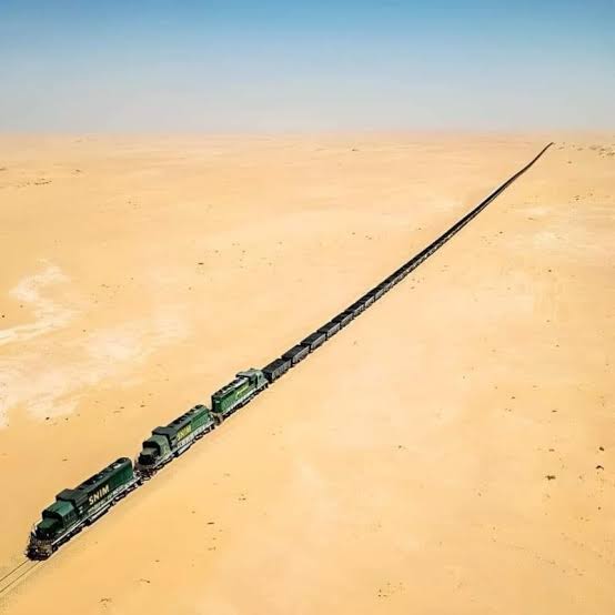
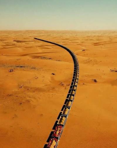
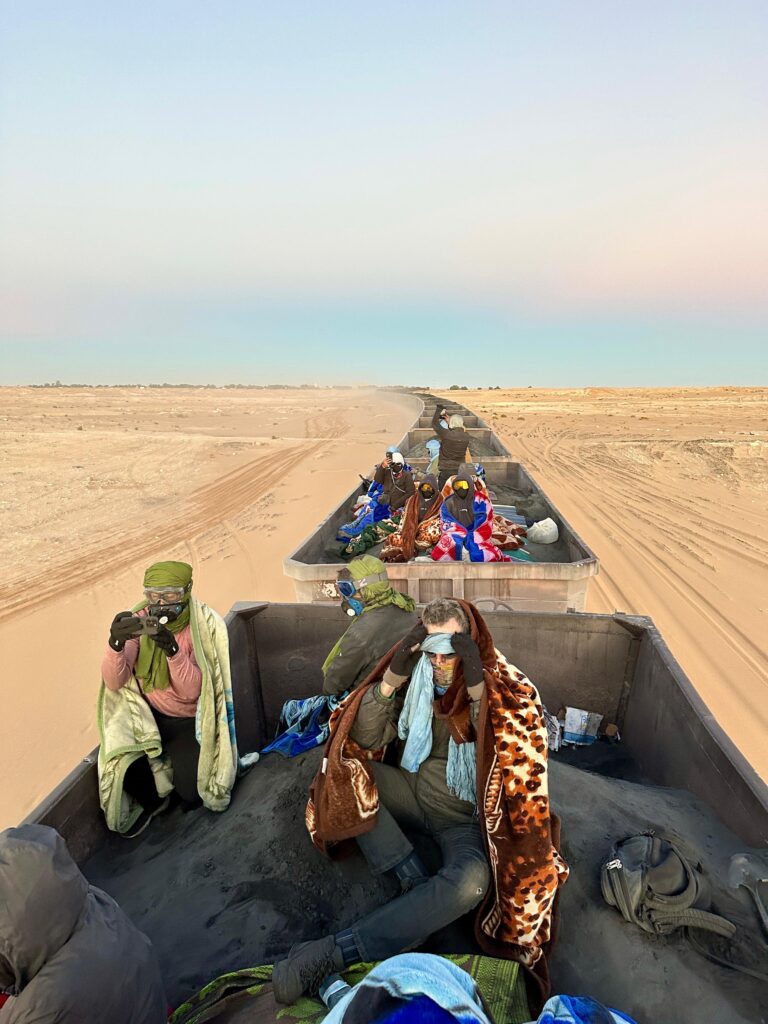
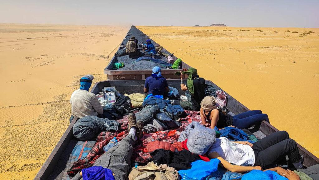
Capital of the Tiris Zemmour region, Zouerate is a mining and working town set deep in northern Mauritania's desert, some 750 km from Nouakchott. Founded in the late 1950s and early 1960s with the start of iron ore extraction, it still lives to the rhythm of the mine, its facilities run by the National Industrial and Mining Company (SNIM). From here departs the Mauritania Railway's desert train, one of the longest freight trains in the world, running 650 km to the coastal city of Nouadhibou — an unforgettable adventure. The town is ringed by vast iron hills and colossal mining machinery, while the Tiris Zemmour Sahara stretches all around with its clear air and deep silence. Add to this a singular working community that keeps authentic desert traditions alive.
🇲🇷 Mauritania
Zouerate
What to see
Tourine
Tourine is a remote desert area in northern Mauritania, near the mining town of Zouérate, on the axis running towards Bir Moghreïn in the depths of the Tiris Zemmour. Here the Sahara appears in its purest form: plains of gravel and black hamada stretching to the horizon, crossed by golden dunes, with isolated mountains rising abruptly from the flat, in a country of immense scale and silence. This is the heart of Mauritania's iron country: the world of the mines and the famous ore train pass through it, and it is surrounded by exceptional geological landscapes that make travelling here an experience of the age of the earth rather than of towns. Nomadic life remains present, with camel herds and camps scattered wherever pasture is found. Its nights are among the clearest in the Sahara: a sky without any light pollution that gives back every star.
 9 ⬚
9 ⬚
Bir Moghreïn (Tiris Zemmour) — Caravan Crossroads and Gateway of the North
Bir Moghreïn is a strategic town and department in the far north of Mauritania, in the Tiris Zemmour region, and the second largest population centre after the regional capital, Zouérate. The moughataa covers an immense territory of some 86,104 km² with an extremely low population density, in sprawling desert country of rugged relief. Its history comes from the tracks: Bir Moghreïn was long a major crossroads of the Saharan caravan routes and a centre of resistance to French colonisation, which renamed it Fort Trinquet during the colonial period. Today it is returning to prominence with the agreed opening of the Amghala–Bir Moghreïn border post, a 53-kilometre land corridor linking the department directly to the town of Smara and seen as a promising trade gateway towards the African interior, complementing the Guerguerat crossing. Its surroundings are also an active centre of traditional surface gold panning, drawing thousands of prospectors and forming a vital economic artery for local people. Infrastructure projects follow one another to break the isolation and address water scarcity: desalination and water treatment plants, model farms, electricity and telecommunications. For the traveller, Bir Moghreïn is one of the ends of the Sahara: hamada and dunes without end, isolated mountains, absolute silence, night skies of extraordinary clarity, nomad camps, and a town that lives to the rhythm of the tracks as it always has.
Chegatt (Tiris Zemmour) — Gold Country in Mauritania's Far North-East
Chegatt is one of the best-known and richest areas of artisanal surface gold prospecting in the far north-east of Mauritania, administratively part of the Tiris Zemmour region. For a long time it was a closed military zone guarded by the Mauritanian army because of its sensitive border position, before the presidency decided to open it officially to traditional prospectors in December 2020 in order to revive the local economy. Since that decision, Chegatt has become a phenomenon in itself: camps springing up in open country, vehicles and metal detectors combing the hamada, thousands of men arriving from every region of the country in search of gold — a scene that recalls the great gold rushes of history, but set in the heart of the Sahara and at a wholly Mauritanian rhythm. Its natural setting is beauty at its harshest: plains of gravel and black hamada, dunes, isolated hills, a horizon without limit and a perfectly clear night sky. Chegatt is not a leisure destination but a working area and a border zone whose access is regulated; its value for the interested visitor is above all human — seeing how a temporary town is born from nothing in the desert, and how people live there, sharing water, bread and luck.
Aïn Ben Tili (Tiris Zemmour) — Garrison and Hamada at Mauritania's Far Edge
Aïn Ben Tili is a small village and a historic military garrison in the far north-east of Mauritania, in the Tiris Zemmour region. It stands at an extremely sensitive strategic border point, directly on the frontier with Western Sahara and on the road leading to the Algerian town of Tindouf, which has made it for decades a forward post and a watchpoint at a crossing of three directions. It is also one of the most isolated inhabited places in the country: a few buildings, a garrison and a well in the middle of an endless hamada, with the nearest town hundreds of kilometres away. Its landscape is the desert at its most abstract: dark gravel plains reaching the horizon, a sky so wide it unsettles the senses, and an absolute silence broken only by the wind. This pristine hamada holds a special fame among meteorite scientists and collectors: many meteorites recovered here carry the name "Aïn Ben Tili", because the bare, vegetation-free ground makes stones fallen from the sky visible to the eye. Visiting is a rare experience for lovers of great deserts and far frontiers rather than conventional tourism.
Pelican 16 — The Shackleton Left in the Sahara since 1994
"Pelican 16" (serial 1716) is an Avro Shackleton maritime patrol bomber of the South African Air Force. In July 1994, following a double engine failure, the aircraft had to make an emergency landing in the heart of the Sahara, in the disputed border region between Morocco and northern Mauritania, at 22°37′50″N, 13°14′15″W. The crew survived, but the aircraft stayed where it came down: recovering it from that remote sand plain was never possible. Since that day the dry desert air has acted as a natural museum: the airframe still sits on its belly in the sand, wings spread and all four engines in place, weathered by wind and sun yet preserved to a degree that astonishes anyone seeing it for the first time. Pelican 16 has become one of the most famous and most photographed aircraft wrecks in the world, and an almost ritual destination for aviation enthusiasts who travel thousands of kilometres to see it where it lies, between the sand horizon and the sky. It is one of those sights that sums up the desert: a huge machine built by human hands, left alone by time in a space that belongs to no one. The site lies in a sensitive border area, and reaching it is no ordinary trip.
F'Dérik (Tiris Zemmour) — Iron Town and Fort Gouraud below Kediet Ej Jill
F'Dérik is a small mining town and a department of the Tiris Zemmour region in the far north of Mauritania, set in remote desert country on the western flank of Mount Kediet Ej Jill, about 30 kilometres west of Zouérate and close to the northern border. The modern town was built at the end of the 1950s by the French authorities around an old military post known as Fort Gouraud, and it served as the administrative capital of Tiris Zemmour until that role passed officially to neighbouring Zouérate at the end of 1986. F'Dérik was founded above all as a mining centre for the extraction and development of the immense iron deposits of the Kediet Ej Jill, and Mauritania's famous railway runs through it: iron ore is loaded here onto the long desert train bound for the port of Nouadhibou and export. Beyond iron, the area is rich in gold and in salt drawn from local sebkhas, whose output grows year by year. The department counts only a few thousand inhabitants (around 4,715 at the 2013 census). For visitors, F'Dérik is a window onto a north few people know: the mineral slopes of the Kediet Ej Jill, the sight of the ore train cutting across the desert, traces of the colonial period and the memory of the fort, the lake of F'Dérik where local people come to rest in the rainy season, and local oases and farms such as Oum Arwagen, supported by official programmes encouraging young people to invest in domestic tourism.
Guelta Oum Lahbal (Tiris Zemmour) — A Gorge and Permanent Water near Zouérate
Guelta Oum Lahbal is the largest mountain gorge and permanent water oasis in the arid desert region of Tiris Zemmour, in northern Mauritania. It lies at the foot of the mountain near the Oued Amerkli road, a short drive from Zouérate, which makes it the closest natural escape for the people of the north's largest town. Its first value is that it is an exception: water that stays all year in one of the driest regions of the country, held in the bed of a rocky gorge whose walls shield it from sun and wind. Around the pool, scattered vegetation grows and birds appear, and the place becomes a striking natural resort where families and mine workers come to escape the pressure of the city — so much so that it is often crowded with visitors at weekends. The area's memory runs far deeper than its mines: for centuries the caravans of Saharan nomads crossed this land, poor in plant cover and rich in minerals, and it was water points like Oum Lahbal that set the routes and made the stages. Visiting today is a simple and deep experience: walking the gorge, a short climb for a view over the plain, and tea in the shade at the water's edge.
Gallery