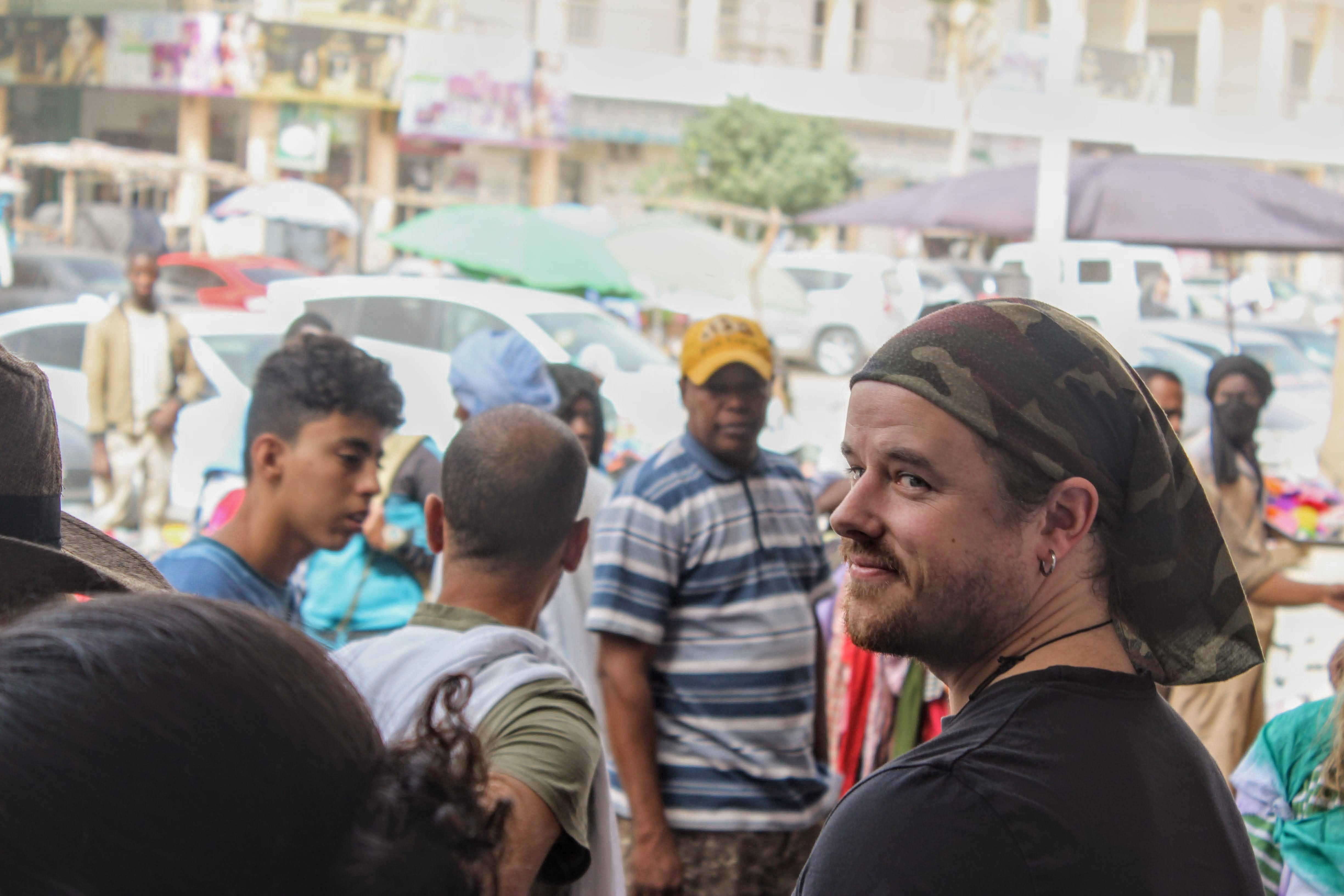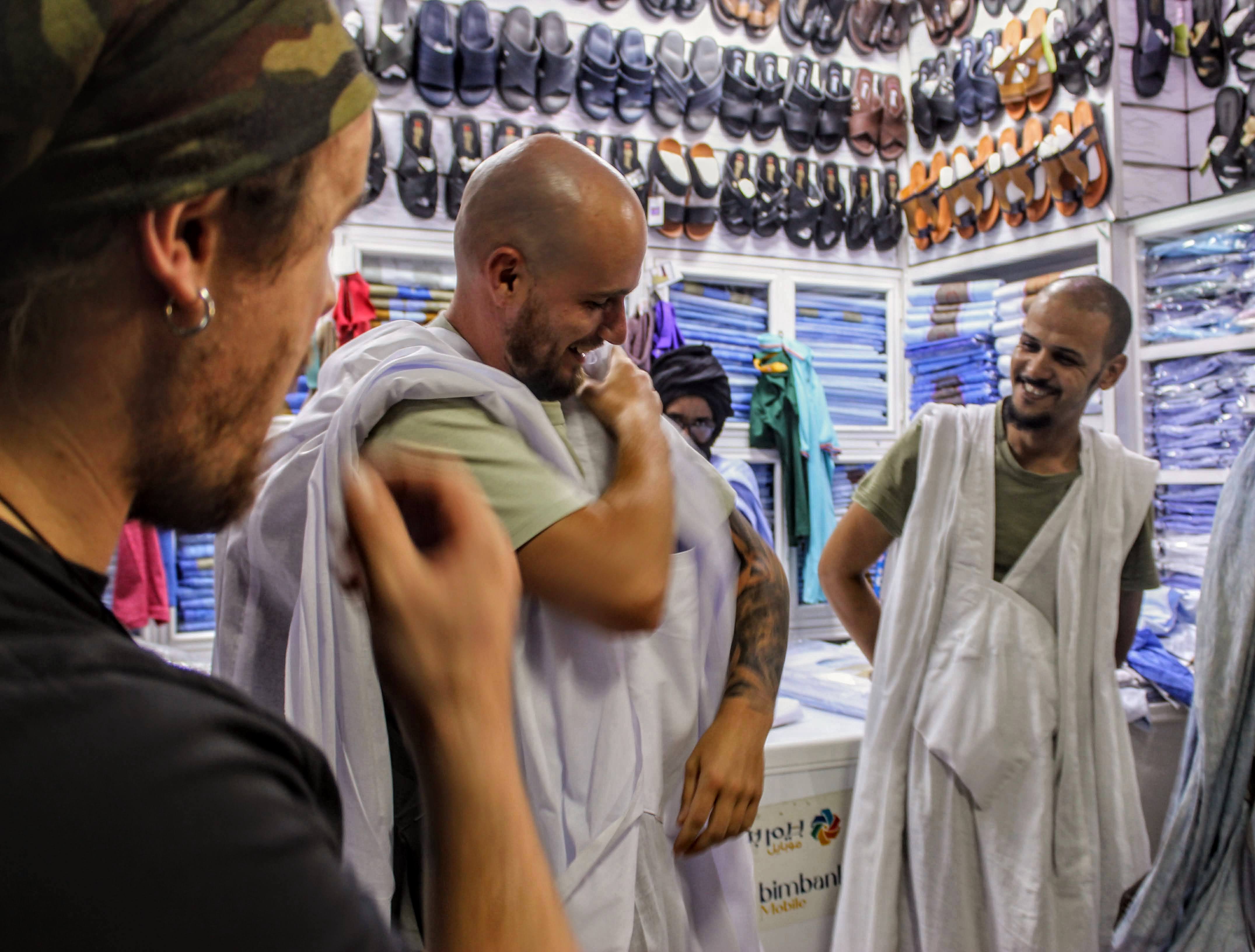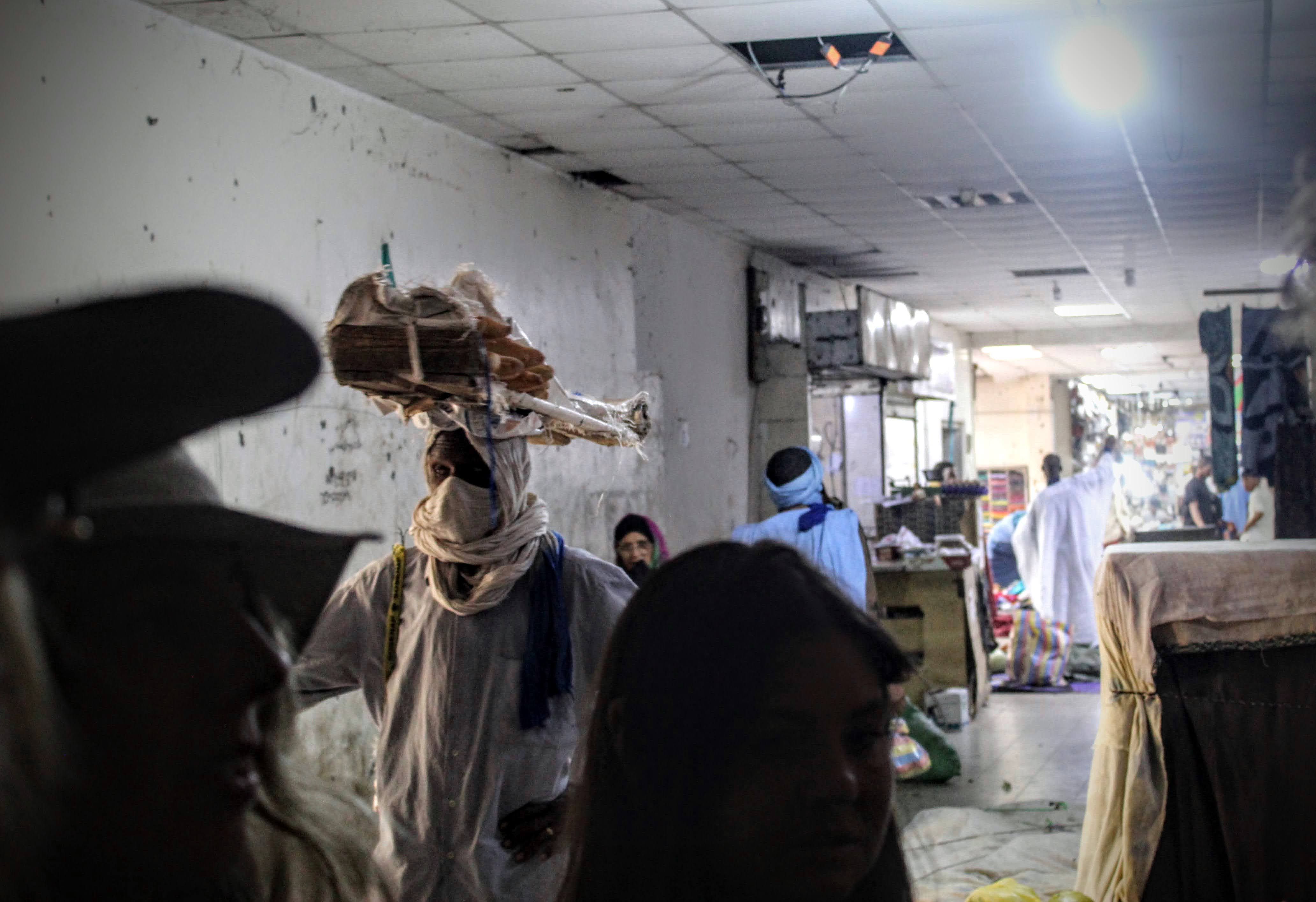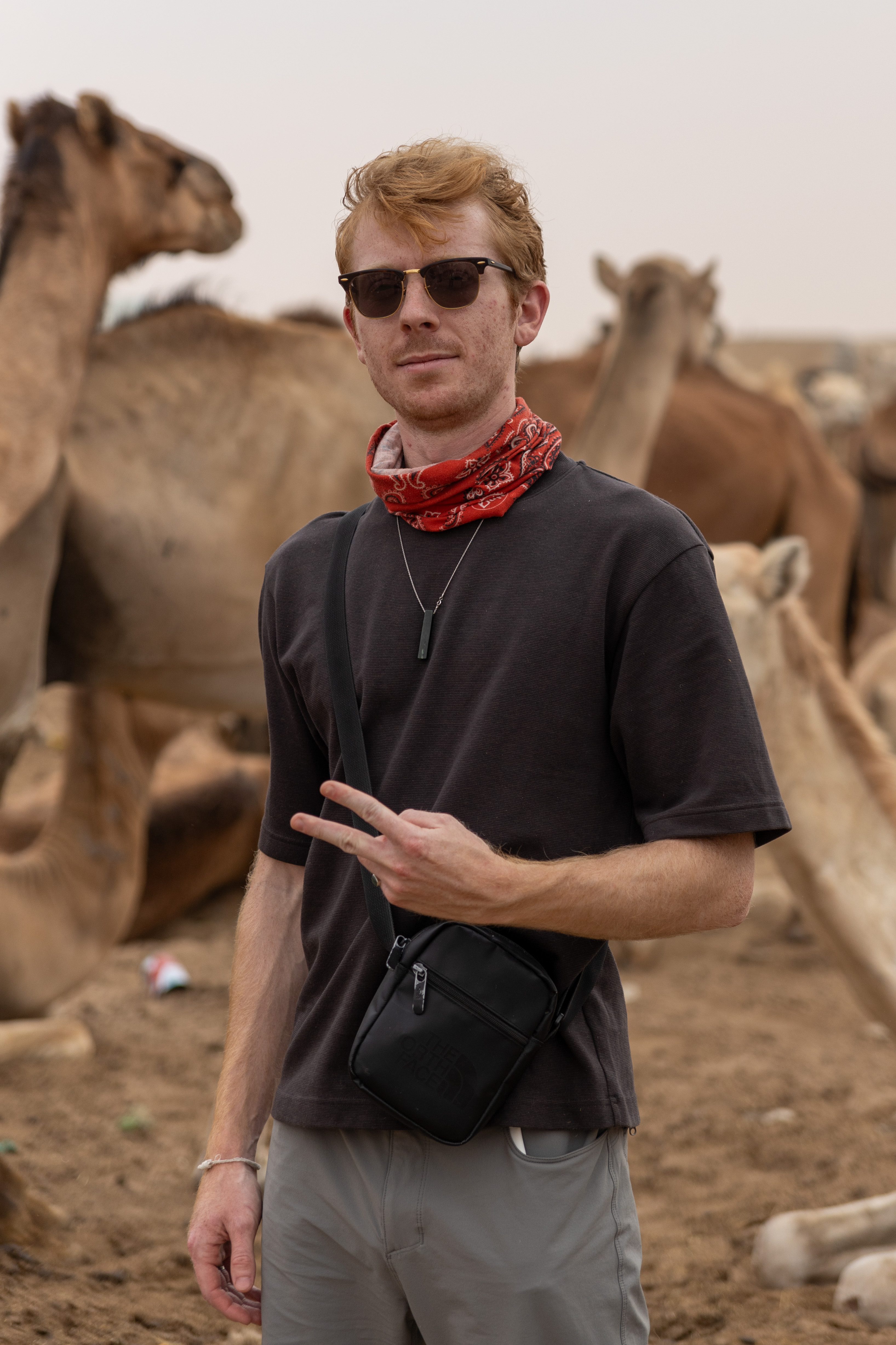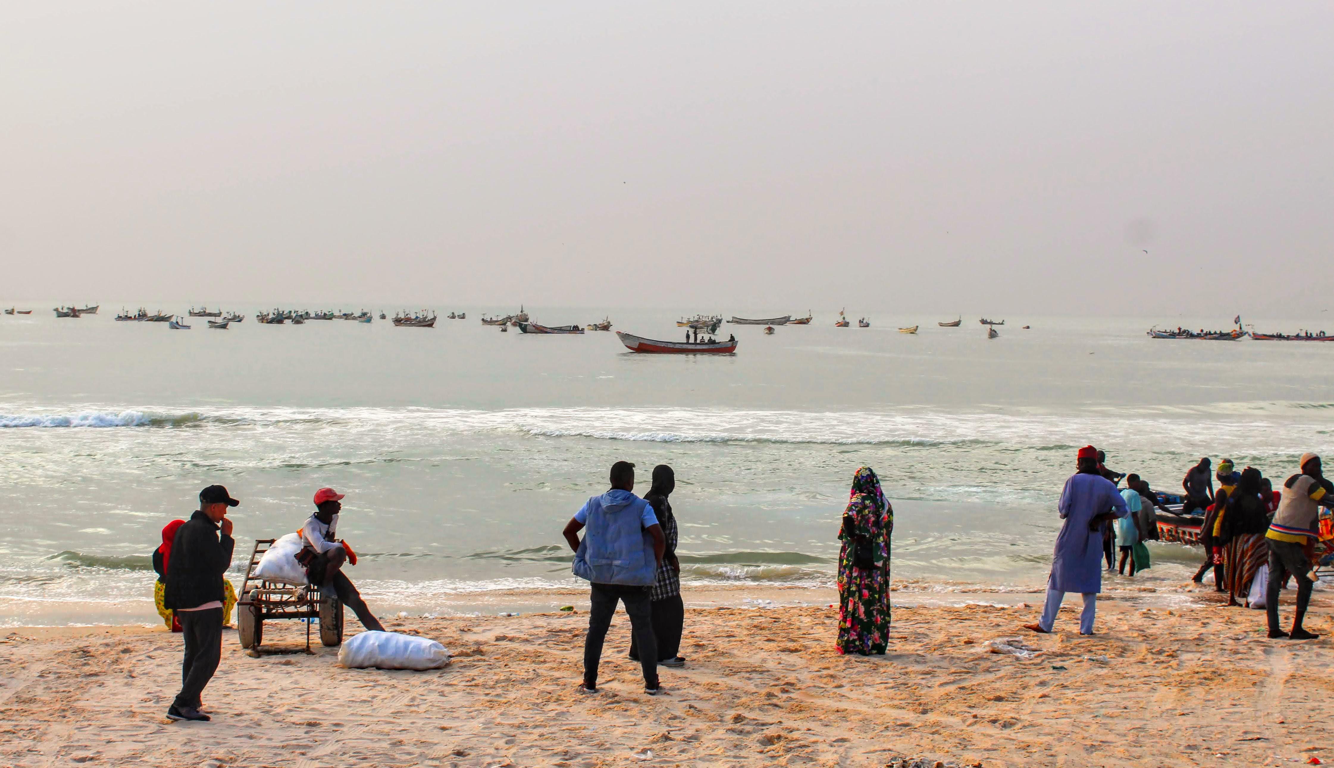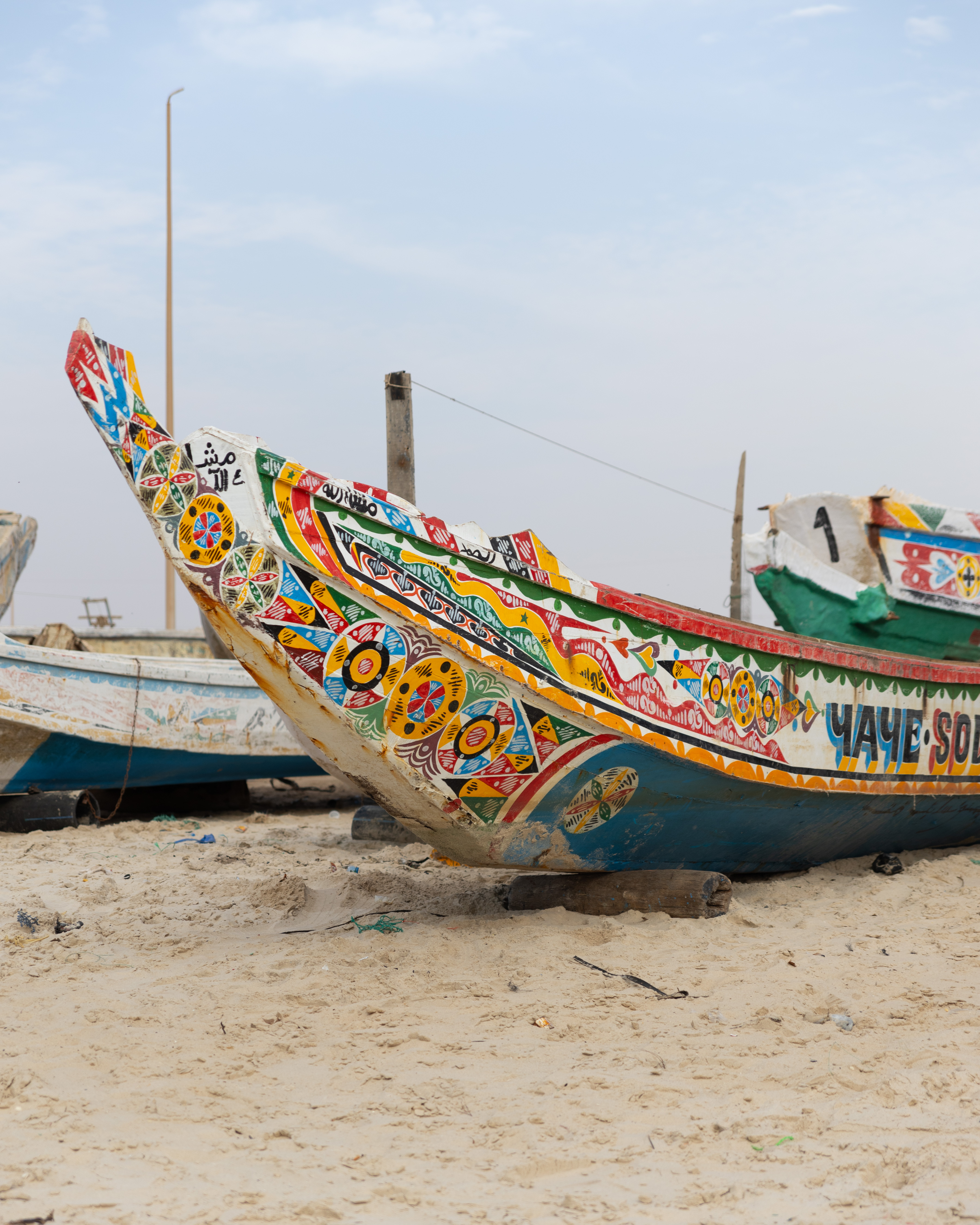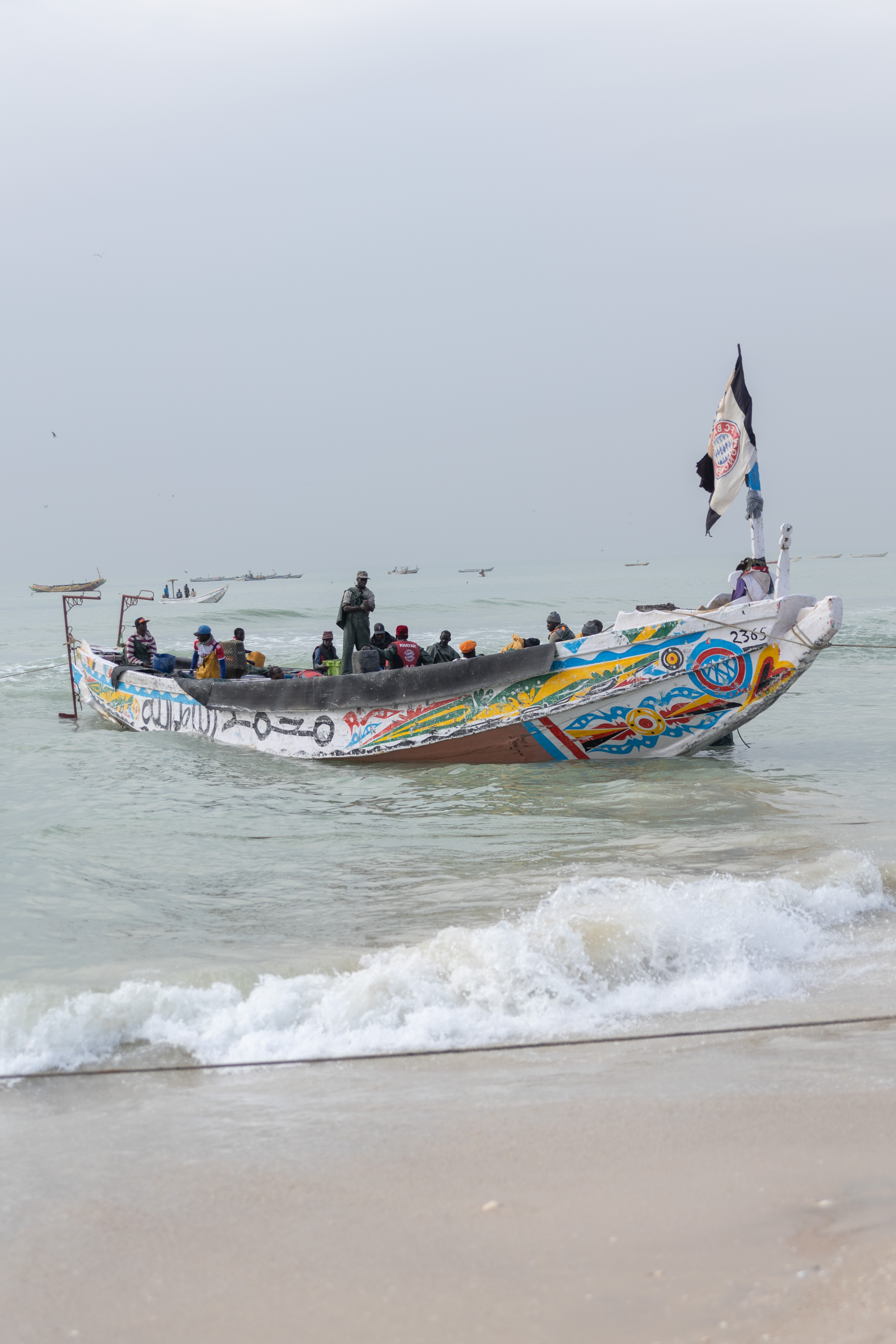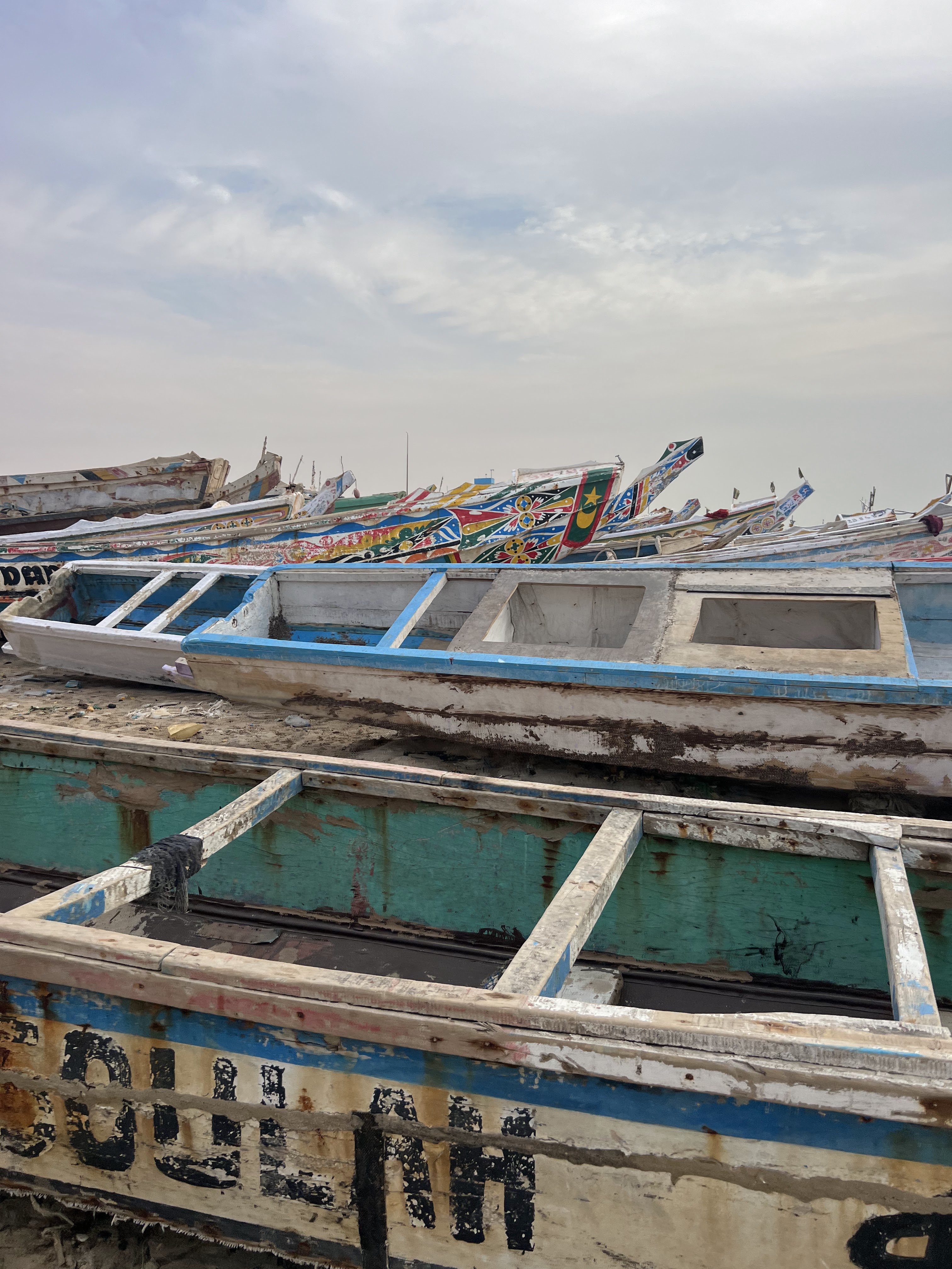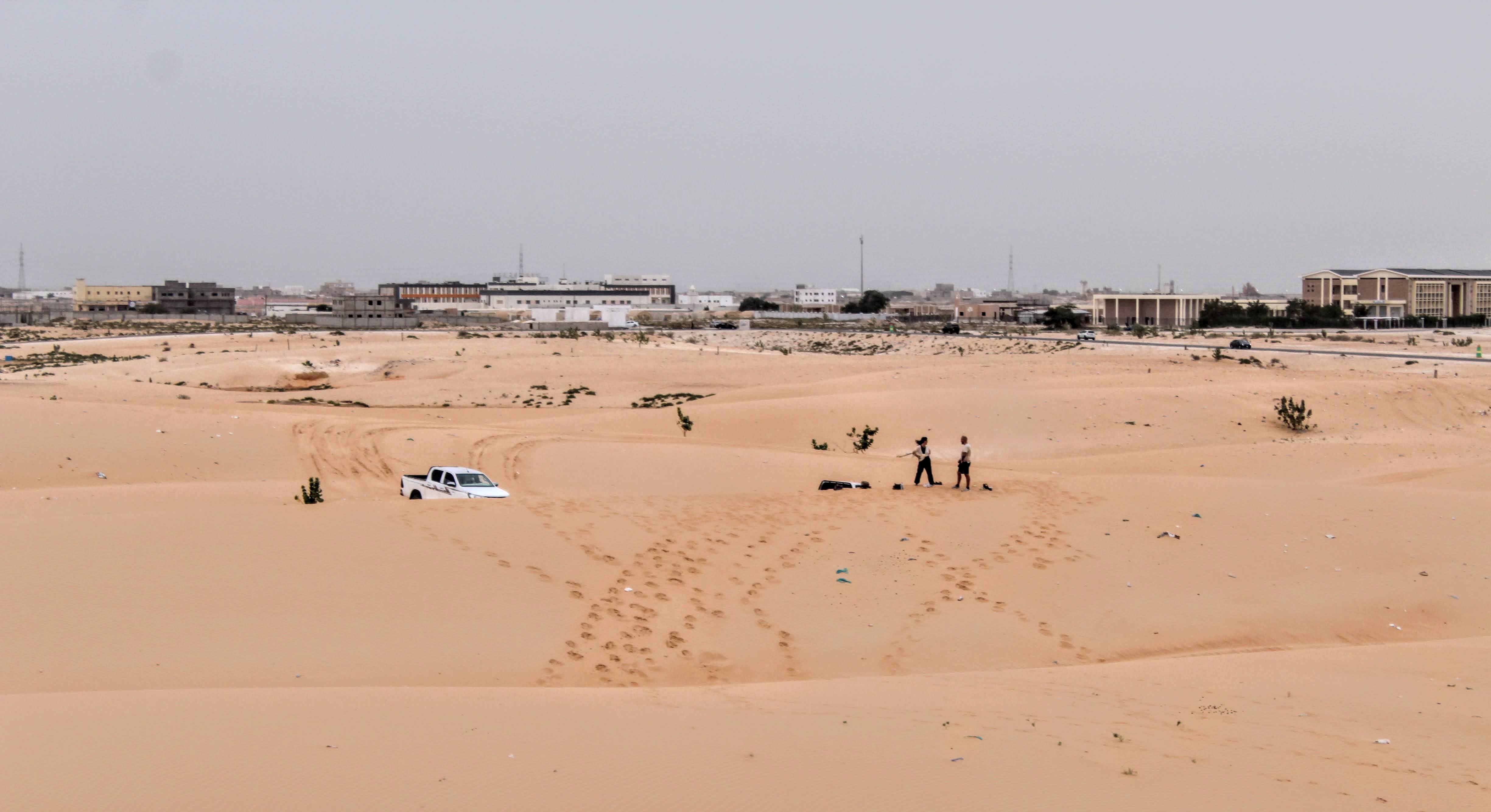
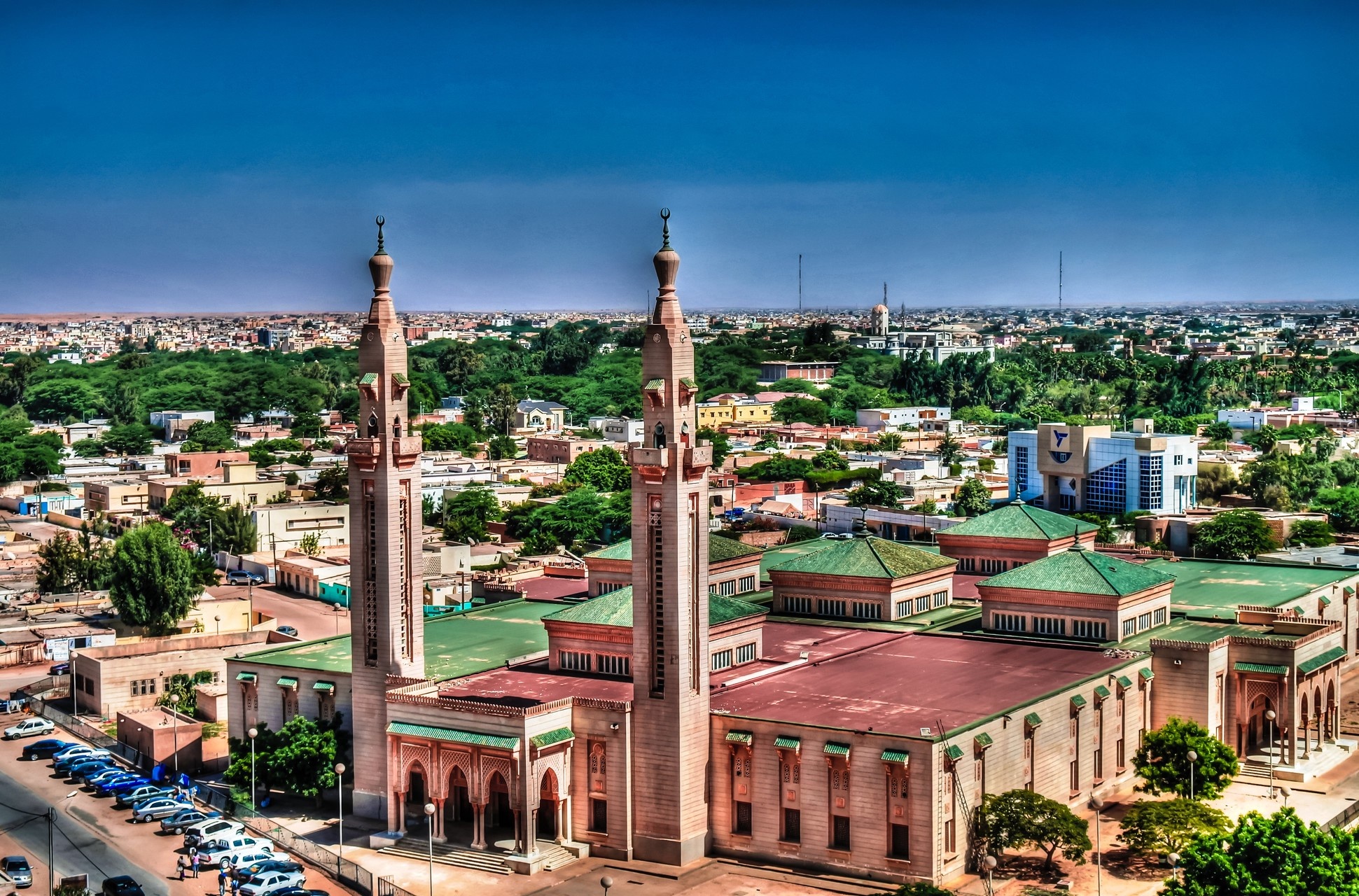
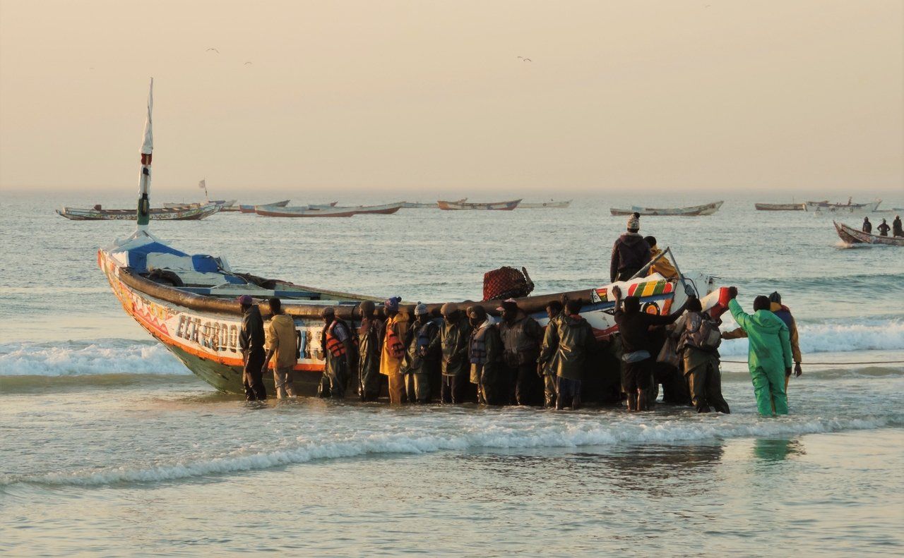
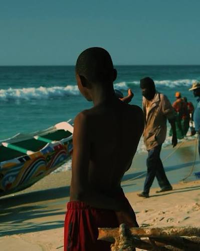
Four places that show the city as it is. You start at the Saudi Mosque — officially the King Faisal bin Abdulaziz Mosque — the most imposing building in central Nouakchott, built with Saudi funding, sand-coloured, with two tall minarets. Then you head ten kilometres out of the centre: the buildings fall away and the world's second largest camel market appears, hundreds of dromedaries divided into herds with their herders around them. In Mauritania the dromedary is not simply livestock; it is an emblematic animal, woven into daily life. Next comes the fish market, where crates are unloaded from small boats returning from the shallow coastal waters with nets, lines and traps; some of the catch is salted or dried before sale. You finish at the National Museum of Mauritania in the city centre, in a 1972 building constructed in cooperation with China, whose archaeological and ethnographic collections trace millennia of human settlement here.
🇲🇷 Mauritania
Nouakchott
What to see
Awleigatt National Park
Awleigatt National Park is Mauritania's flagship destination for domestic and responsible ecotourism, and the country's first fully integrated wildlife, botanical and tourism complex. The reserve holds more than fifteen species of rare wild animals, both grazers and predators, that had vanished or come close to disappearing from the Mauritanian wild through drought; hundreds of head — African antelopes, ostriches and oryx among them — have been brought in from countries such as South Africa and Senegal for reintroduction, and dedicated enclosures allow the animals to acclimatise under scientific monitoring before release. In terms of facilities, the park offers an eco-lodge with equipped rooms and family suites, along with a cluster of authentic Mauritanian tents pitched directly opposite the grazing grounds of the wild antelopes, plus an eco-restaurant and modern halls running entirely on clean solar power. The reserve lies in the department of Ouad Naga, in the commune of Awleigatt, only about 65 km from Nouakchott along the Route de l'Espoir, making it an easy weekend escape; it covers 16 km² (1,600 hectares) marked by abundant groundwater and a plant cover that holds back desertification. It is finally an educational family destination: a safe setting for children and school groups to encounter wildlife at close range and build environmental awareness, with several kilometres of graded internal tracks that let visitors drive through to watch the animals and the artificial lake.
 7 ⬚
7 ⬚
Kaédi (Gorgol) — Mauritania's Capital of Dyeing and Earthen Architecture
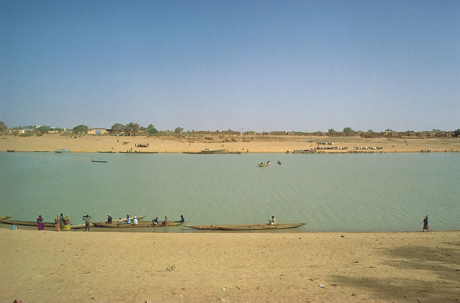
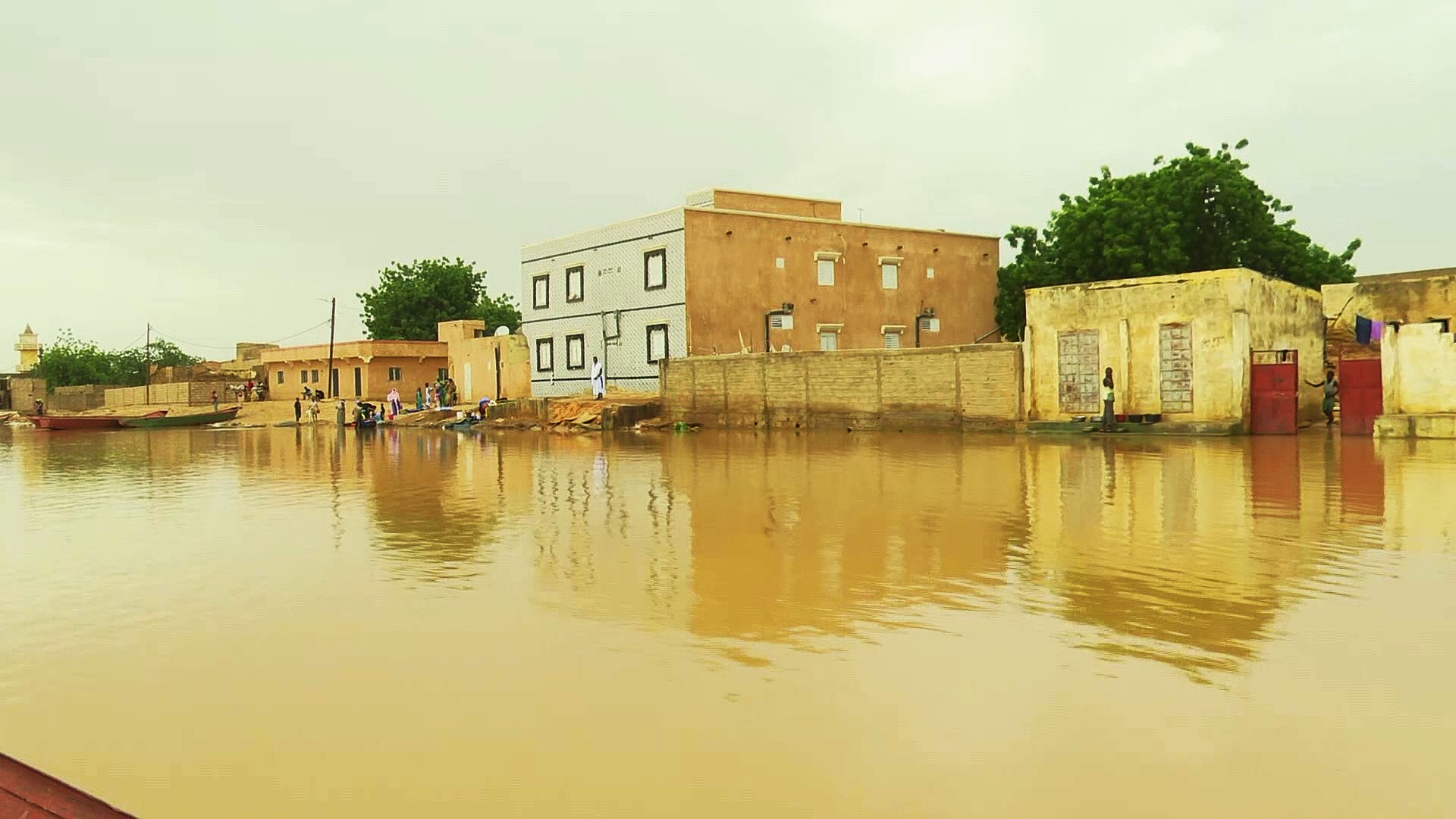
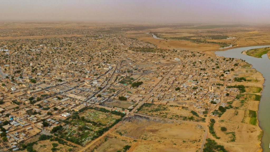
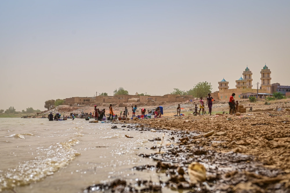
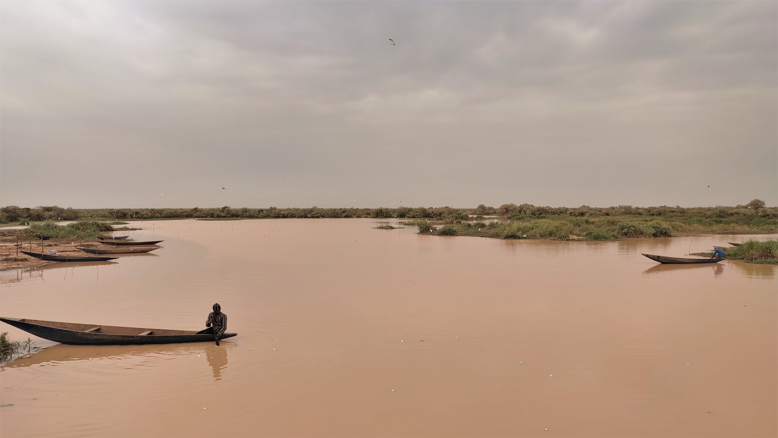
On the right bank of the Senegal River, some 440 km south-east of Nouakchott, stands Kaédi, capital of the Gorgol region: a town that grew from a settlement of fishermen and farmers founded around 1859 into one of the country's most important river cities and a major historical and cultural hub of southern Mauritania. It played a strategic role in trade and cultural exchange between Mauritania and Senegal, with links reaching as far as Mali and the Fouta-Djalon, and from its rich Islamic past it still keeps important libraries holding ancient manuscripts. What makes Kaédi exceptional, though, is its craft: it is the cradle of traditional dyeing in Mauritania, where artisans produce the famous coloured malahfas and fabrics whose patterns and techniques pass from one generation to the next — the country's undisputed capital of textile art. The urban landscape is marked by two-storey earthen houses, crowned by the town's celebrated hospital, internationally awarded for its innovative raw-earth architecture. Alongside dyeing, Kaédi maintains strong traditions of pottery, made by women according to strict rituals, and a renowned weaving expertise. The riverbanks, meanwhile, offer a natural setting for river fishing and outdoor life, and the region hosts cultural events such as the Festival culturel de la rive, which celebrates the heritage of this river country.
 7 ⬚
7 ⬚
Sélibaby (Guidimakha) — Mauritania's Green Face at a Three-Country Crossroads
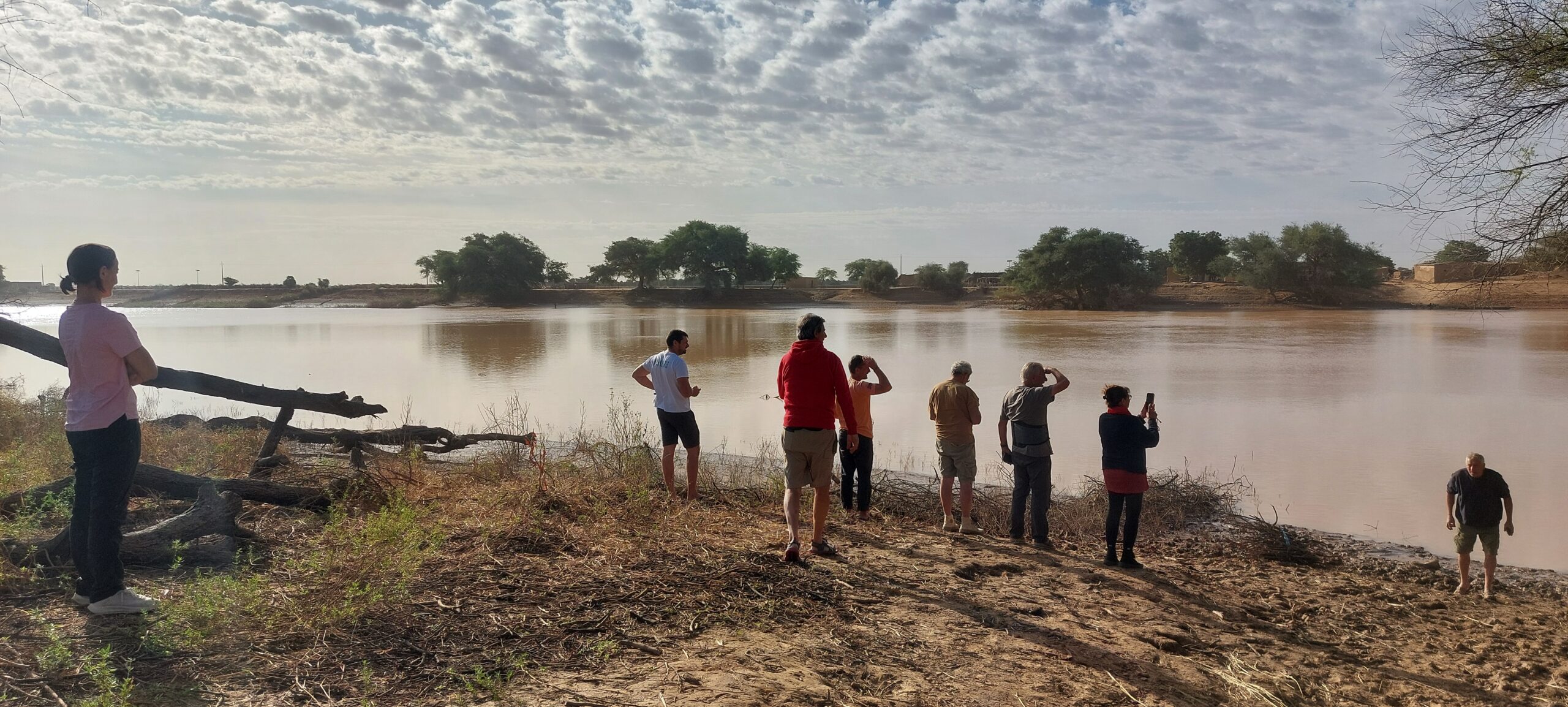
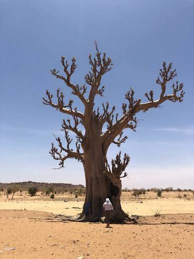
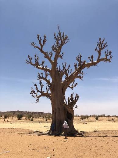
Sélibaby is the capital of the Guidimakha region, in the far south of Mauritania — and the town where travellers discover that this country has another face than the desert. Here, in the basin of the Senegal River and near the course of the Karakoro, a stone's throw from the borders with Senegal and Mali, the land turns to savannah: massive baobabs, acacias, low rocky hills, and a rainy season that clothes the landscape in a green found nowhere in the north. Sélibaby lies at the heart of the historic Soninke country, whose deep cultural roots run through this border region, alongside Pulaar and other communities; from that mix come its music, its customs, its hospitality and its markets, where goods from three countries meet. Visitors come for the market and for the life of the surrounding villages, built on rain-fed farming, livestock and gardens along the watercourses, for walks in the region's hills and plains, and for the birdlife along the rivers. It is also a land gateway: from here the roads open towards Kayes in Mali and Bakel in Senegal, making the town a natural crossing point for anyone continuing south or east.
 6 ⬚
6 ⬚
Boghé (Brakna) — River Town and Farmland on the Senegalese Border
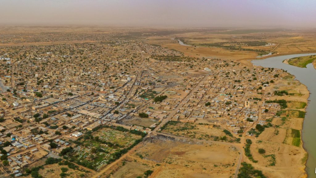
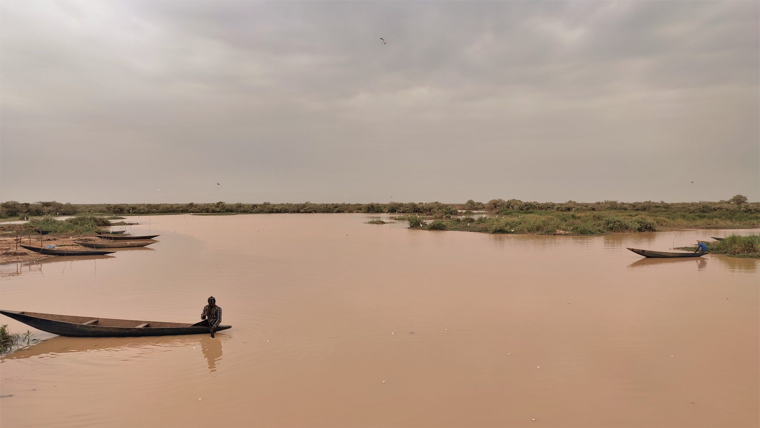
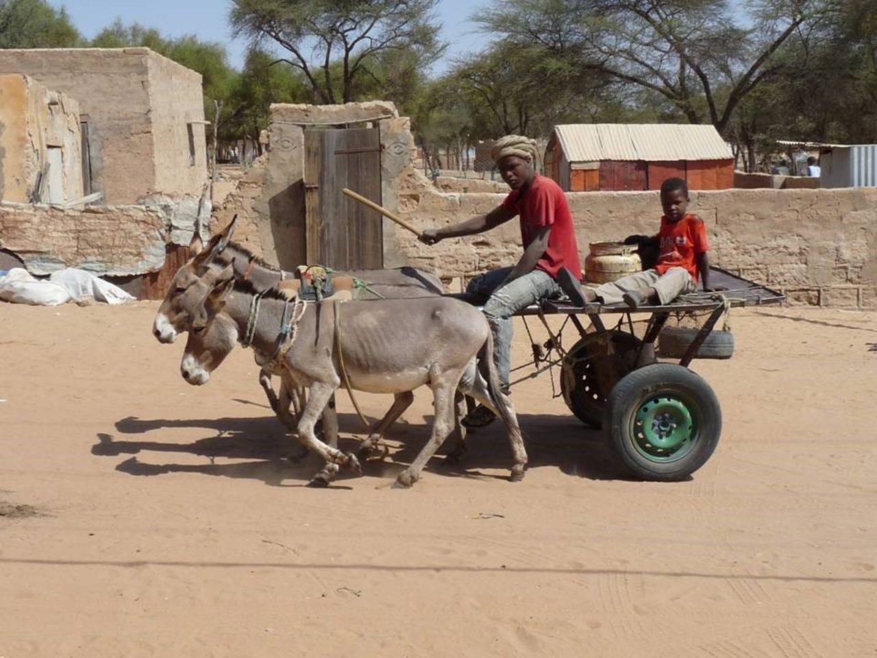
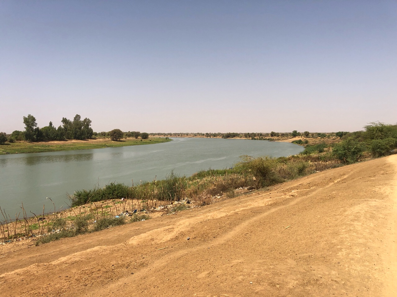
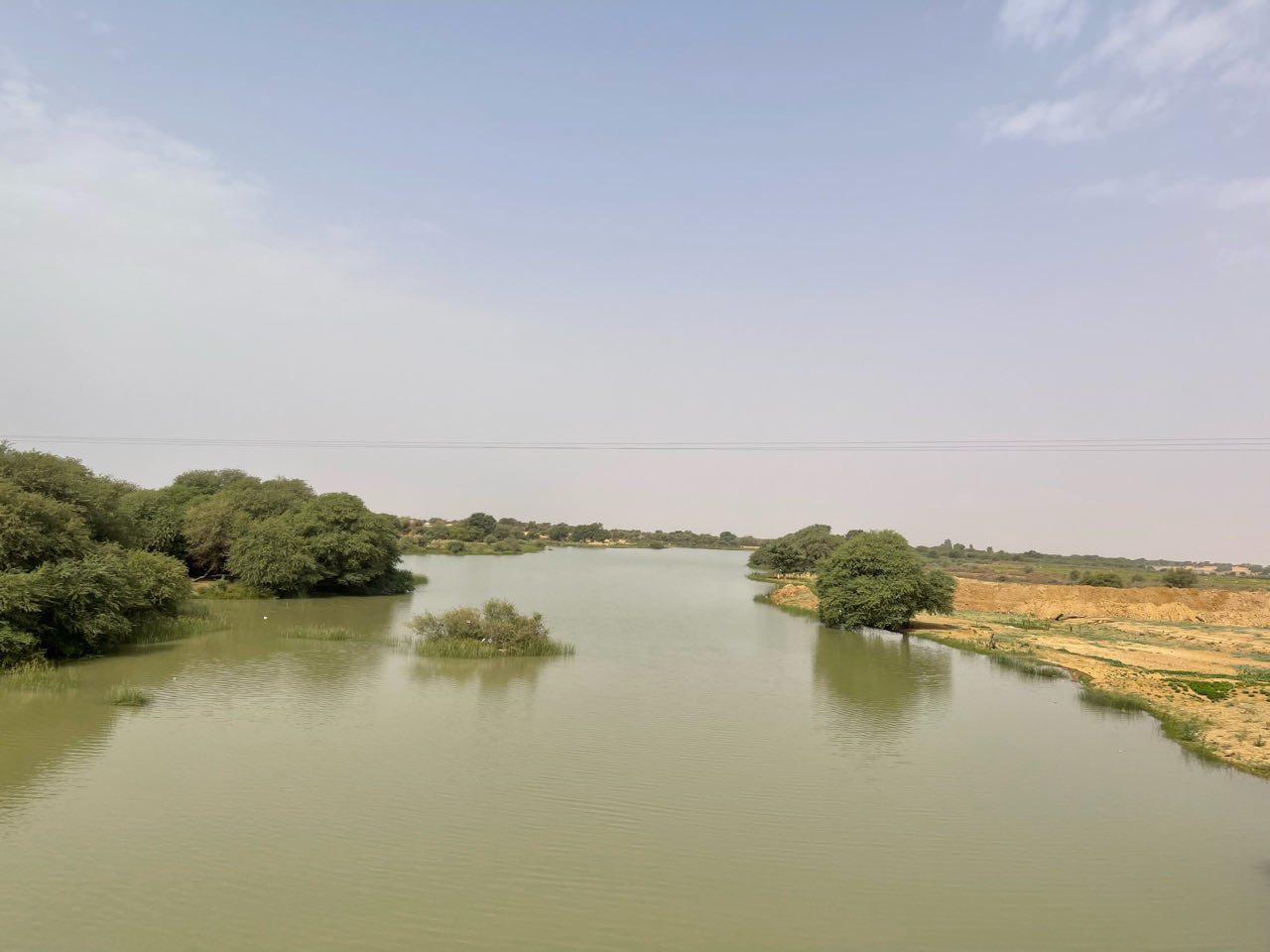
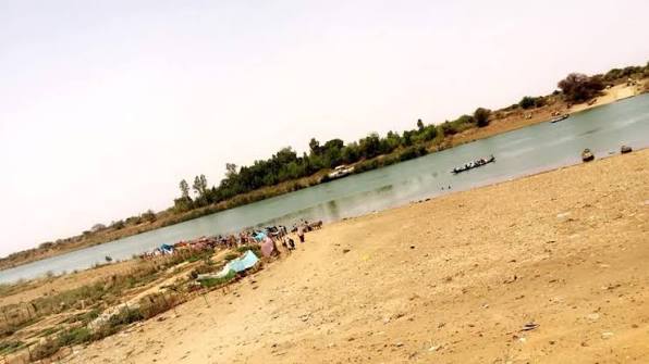
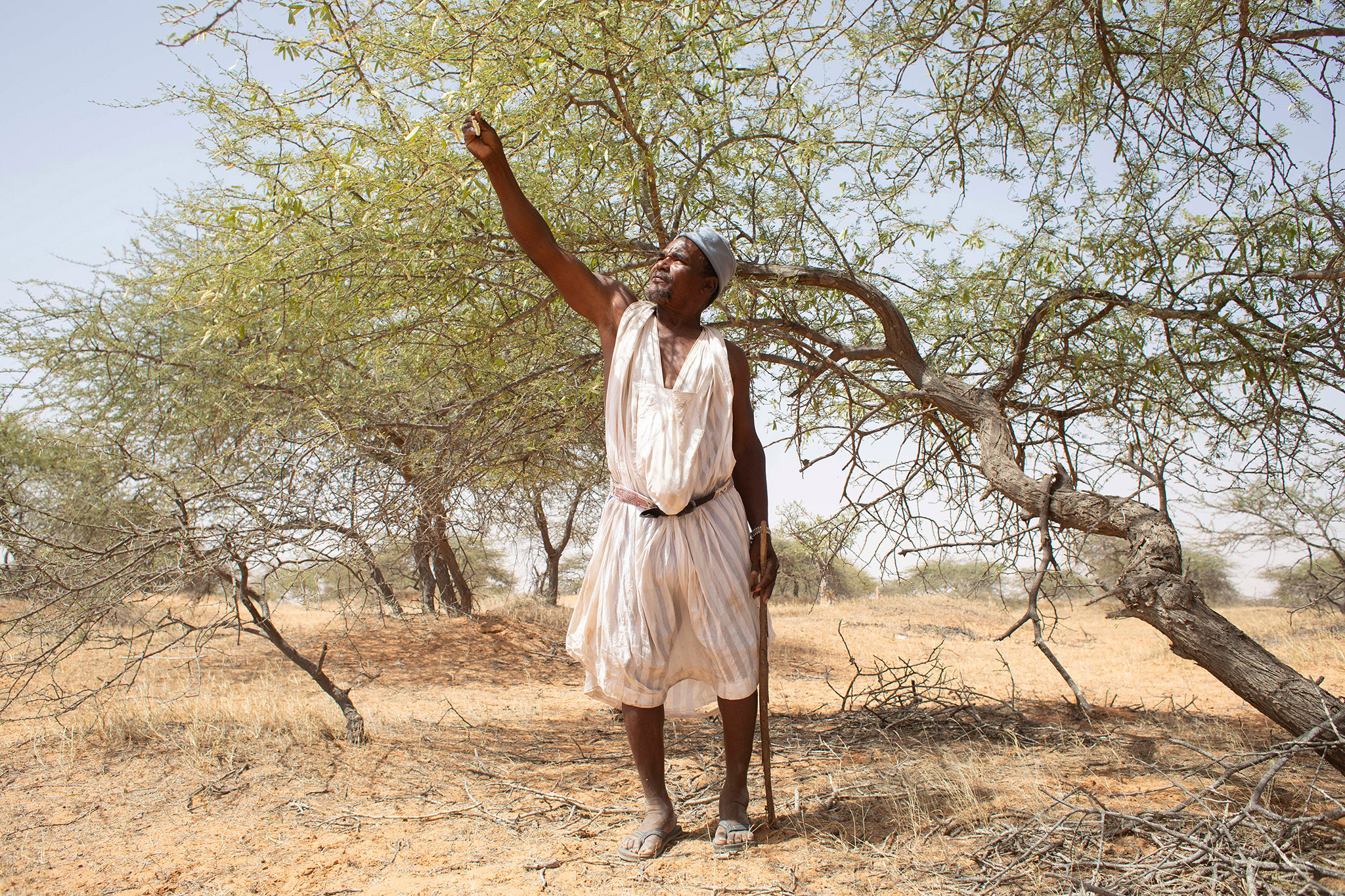
Boghé (also spelt Bogué) is an important town in south-western Mauritania, in the Brakna region, stretching along the Senegal River on the border with neighbouring Senegal, and marked by a cultural and agricultural richness unlike anything in the Saharan north. Here the country changes: a broad river, green banks, rice fields and vegetable gardens running as far as the eye can see across the irrigated schemes that have made the town one of the pillars of farming in the valley. Boghé is an old river port and a point of exchange between the two banks; from that past remain the movement of fishing pirogues and the vitality of a market where the valley's produce meets goods from Senegal. Its culture is the culture of the river valley: a long-established Halpulaar society with its language, music, customs and hospitality, alongside other Mauritanian communities, in a town whose daily rhythm differs greatly from that of the interior. Travellers come to watch life on the river at sunset, to move between villages, fields and irrigation schemes, to watch waterbirds along the banks and seasonal pools, and to see the green farming face of Mauritania that few expect from a desert country. Its position on the river axis makes it a logical stop between Aleg and Kaédi on a route following the Senegal.
 9 ⬚
9 ⬚
Amourj (Hodh Ech Chargui) — Pastoral Country on the Mali Border
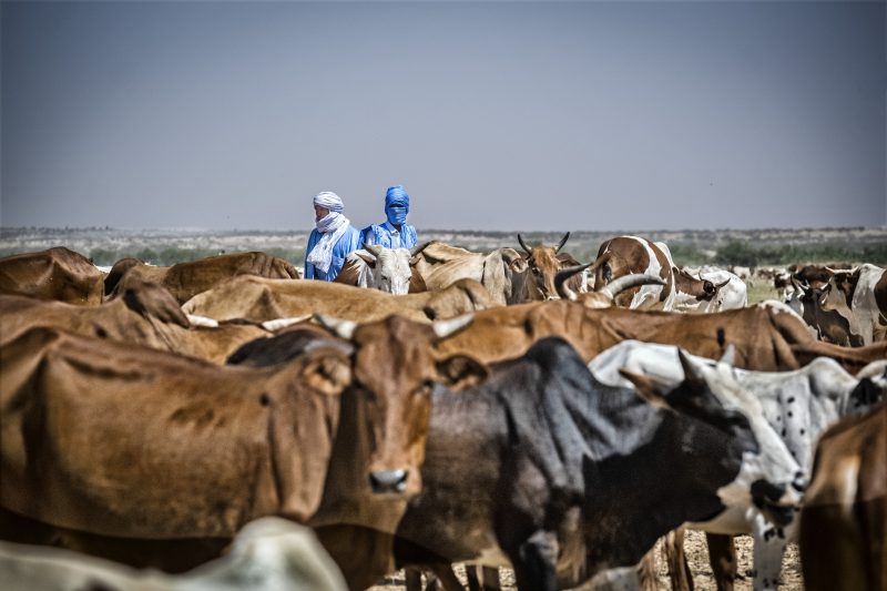
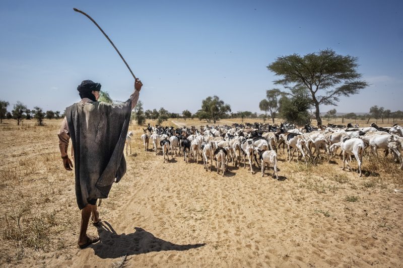
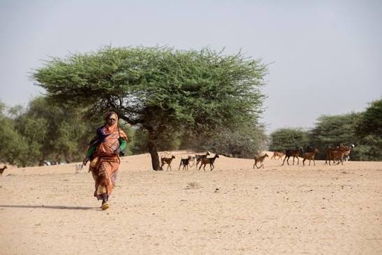
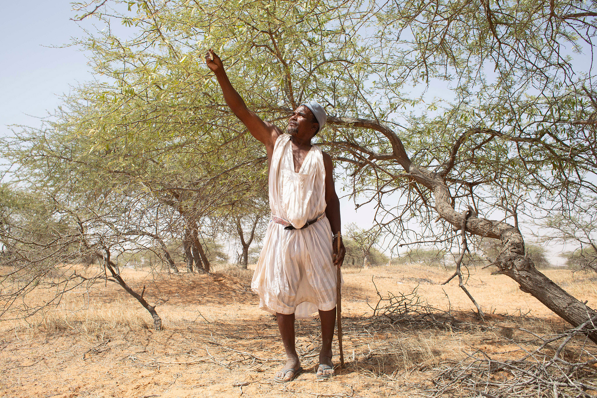
Amourj is one of the seven moughataas (departments) of the Hodh Ech Chargui region in Mauritania. It lies in the far south-east of the country and shares its entire southern border with the Republic of Mali, which makes it a border land in the fullest sense: a place of passage and long-standing exchange between the two sides, not a dividing line. Sahelian steppes stretch across wide open country dotted with acacias, and this is above all pastoral land, its life built on herds of camels, cattle and sheep and on the movement of people in search of pasture. In the rainy season the scene changes entirely: grasses cover the plains, seasonal pools form and draw herders and migratory birds, and the villages come back to life. Its markets carry the imprint of the frontier, where local produce meets goods arriving from the Malian side, in a human and cultural mix that joins the communities of the Hodh Ech Chargui to their southern neighbours. For the traveller, Amourj is not a conventional tourist destination but an experience of depth: authentic desert hospitality, a pastoral life little changed, and a territory at the historic heart of the Hodh, where ancient kingdoms and caravan routes left their mark on both memory and land.
 5 ⬚
5 ⬚
Ould Yengé (Guidimakha) — A Town on the Karakoro at the Mali Border
Ould Yengé (also written Ould Yenjé) is an urban commune and the capital of a moughataa in the far south of Mauritania, in the Guidimakha region. It stands on the banks of the Karakoro, a tributary of the Senegal River that forms the area's natural border with the Republic of Mali, making the town both a vital administrative centre and a frontier gateway. Its setting sums up everything that sets the far south apart: open savannah, baobabs and acacias, low hills, and a watercourse whose banks turn green after the rains until the visitor forgets this is a desert country. Life here rests on rain-fed farming, livestock and gardens along the valley, and on constant exchange with the Malian villages opposite — the river is a boundary and a passage at once. Culturally, Ould Yengé belongs to the long-established Soninke country, with its language, music, customs and hospitality. For the traveller: a lively local market, villages to discover on foot or by 4x4, riverbanks that attract birds, and a rural scene rare in Mauritania. It is a natural stop on a Guidimakha circuit from Sélibaby.
Ajouer (Trarza) — Dunes, Plains and Steppe Villages near Boutilimit
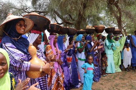
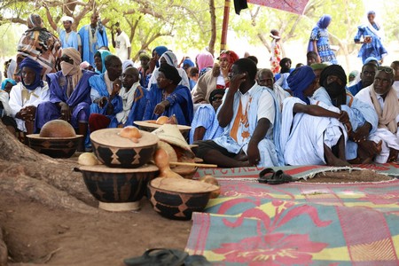
Ajouer is a Mauritanian commune and village in the Trarza region, in the south-west of the country. Locally the name is attached to more than one place within the same region: there is the central commune of Ajouer, administratively part of the department of Boutilimit, and the village of Ajouer Tenhemmed, in the commune of Boutalhaya in the department of R'Kiz. The area lies in a stretch of sand dunes and desert plains characteristic of south-western Mauritania, and the central commune brings together several villages and settlements, among them Ajouer centre, Betembeskit, El Agrich, El Manar and Es-Sourour, El Faouz and Kendellek. Life here is the everyday life of the Trarza steppe: herds of camels and sheep, wells where families gather, pastures that turn green after the rains and briefly transform the plains into a carpet drawing herders from every direction, and a hospitality that is offered before it is asked for. For the visitor, that is precisely its value: an authentic village landscape far from the tourist routes, the chance to see daily life in small settlements, and the proximity of Boutilimit, known for its mahadras and its scholarly memory. Ajouer is not a stop for monuments but a human and natural one on the road south, easily fitted into a circuit combining the Trarza, Lake R'Kiz and the river valley.
 3 ⬚
3 ⬚
Barkéol (Assaba) — The Aftout, Its Seasonal Wadis and Cultural Festival
Barkéol, also known as the Aftout area, is one of the five departments of the Assaba region in southern Mauritania. It was created administratively on 27 July 1974, with the town of Barkéol as its capital and administrative centre, and lies in the south-western part of the region, covering some 6,450 square kilometres. Around its centre run well-known seasonal wadis such as the Oued Barkéol and the Oued Aweinat Imjijeh, and it is they that set the rhythm of the year: after the rains they flow, their banks turn green and the depressions fill, then they return to being arteries of sand and gravel waiting for the next season. The department counts more than 84,500 inhabitants of diverse social background, and includes several communes: Barkéol, the capital, along with Lebheir, Kelir, El Ghabra, Daghveg and Belharath. People live mainly from seasonal farming and livestock, given the pastoral character of the area, while the department has recently seen projects to develop public and educational facilities, such as the Sli school and the Kelir middle school, and road links to end its isolation, including the Monguel–Essouata–Barkéol route. Its cultural symbolism is well established: the area is historically known for the harmony of its social components, and it hosts the Barkéol cultural festival celebrating the heritage of the Aftout — the best moment to discover the region's music, poetry, crafts and food. For the visitor: wadis and plains where herds graze, welcoming villages, and a cultural event that captures the spirit of the Mauritanian south.
Gallery