Kiffa is the most important town in south-central Mauritania and the capital of the Assaba region. Home to some 60,000 people, it lies on the western edge of the Aoukar depression and was for decades a stage of the original Paris–Dakar Rally. Kiffa is best known for its crafts, and above all for its glass art: this type of glass production, unique in the world, has been documented in the region since the 9th century. The richly decorated, multicoloured glass beads known internationally as Kiffa beads enjoy a considerable reputation and are still made by individual artisans today. The town's mosque is also well worth a visit. Just outside Kiffa rise the Affollé mountains, where the West African crocodile was rediscovered in the 1990s after having been considered extinct for decades; a small elephant population survived here until the 1980s. Kiffa is a key stop on tours of southern Mauritania. Coming from Ayoun el Atrous, travellers pause at Foum el Cherat, 70 km east of town, to visit Tamourt Bougari and, if they wish, the Metraucha guelta. The night can be spent either in a guesthouse in Kiffa itself or at a camp pitched in a fine spot outside the town. And did you know? Abderrahmane Sissako, Mauritania's most famous and most awarded filmmaker, was born in Kiffa in 1961.
🇲🇷 Mauritania
Kiffa
What to see
 5 ⬚
5 ⬚
Aoudaghost
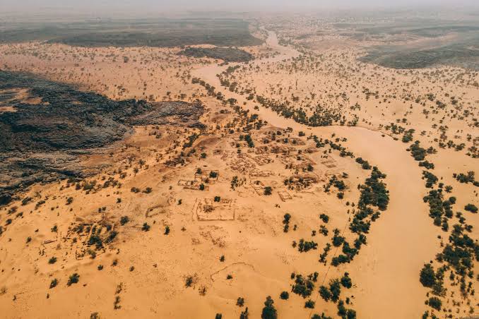
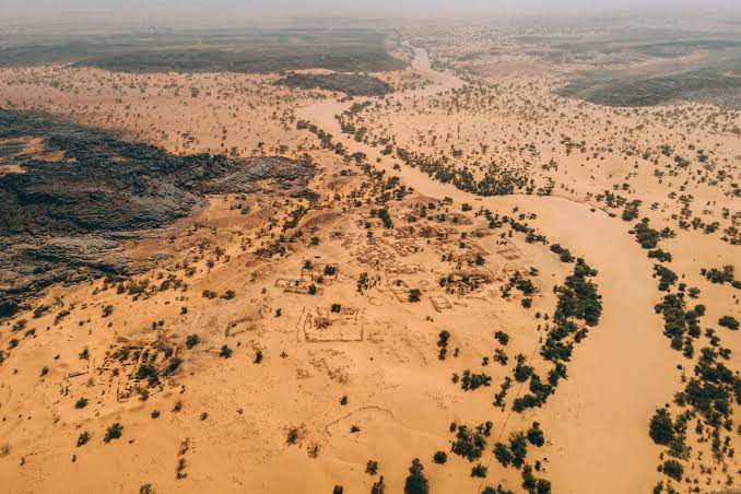
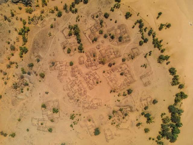
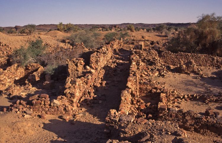
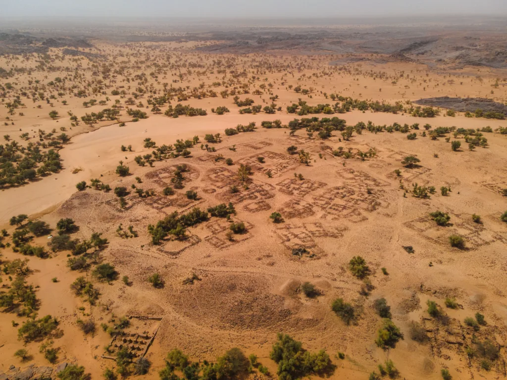
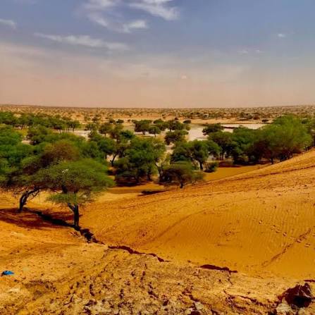
Aoudaghost — also written Awdaghust or Awdaghusht — was a Sanhaja kingdom in what is now central Mauritania; its ruins lie today in the Hodh El Gharbi region, the historic Aoukar. The earliest historical text to mention it is that of al-Yaqubi, who records Aoudaghost as the capital of the land of Anbiya, a term designating the confederation of the Sanhaja tribes of the desert. Its rise coincided with the emergence of other kingdoms across the Sahara, such as the emirates of Sijilmasa and Tahert and the pagan Ghana Empire. The kingdom was a hereditary monarchy: thirty kings of the Lemtouna tribe succeeded one another on its throne, the most famous being Tilukakin (Tilakakin), the first king of Aoudaghost, remembered in the sources for his many conquests, and his son Tiluten, a contemporary of the Umayyad Abd al-Rahman I, "the Falcon of Quraysh". Internal factors such as struggles over succession, and external ones such as alliances among rival kingdoms, gradually weakened the kingdom, until for a time the kings of Ghana left the city under a governor of their own or a council of its notables — this after Aoudaghost had been for centuries the seat of a Sanhaja kingdom to which Ghana itself was subject. In 1055 it passed to the Almoravid state. Some scholars hold that the Almoravid dynasty, in both its Saharan phase (Yahya and Abu Bakr, sons of Umar) and its Maghrebi phase (Yusuf ibn Tashfin and his sons), was purely Sanhaja, all its emirs tracing their descent to the house of Tilakakin, the first king of Aoudaghost.
 7 ⬚
7 ⬚
Tamchekett
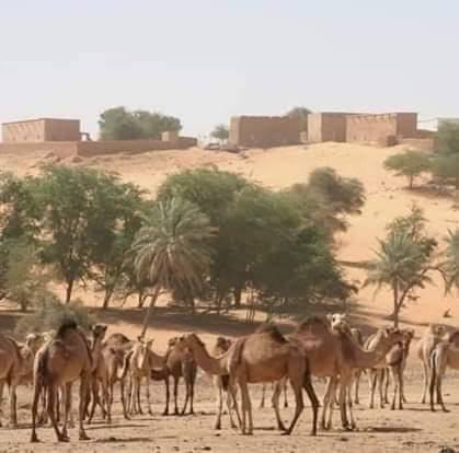
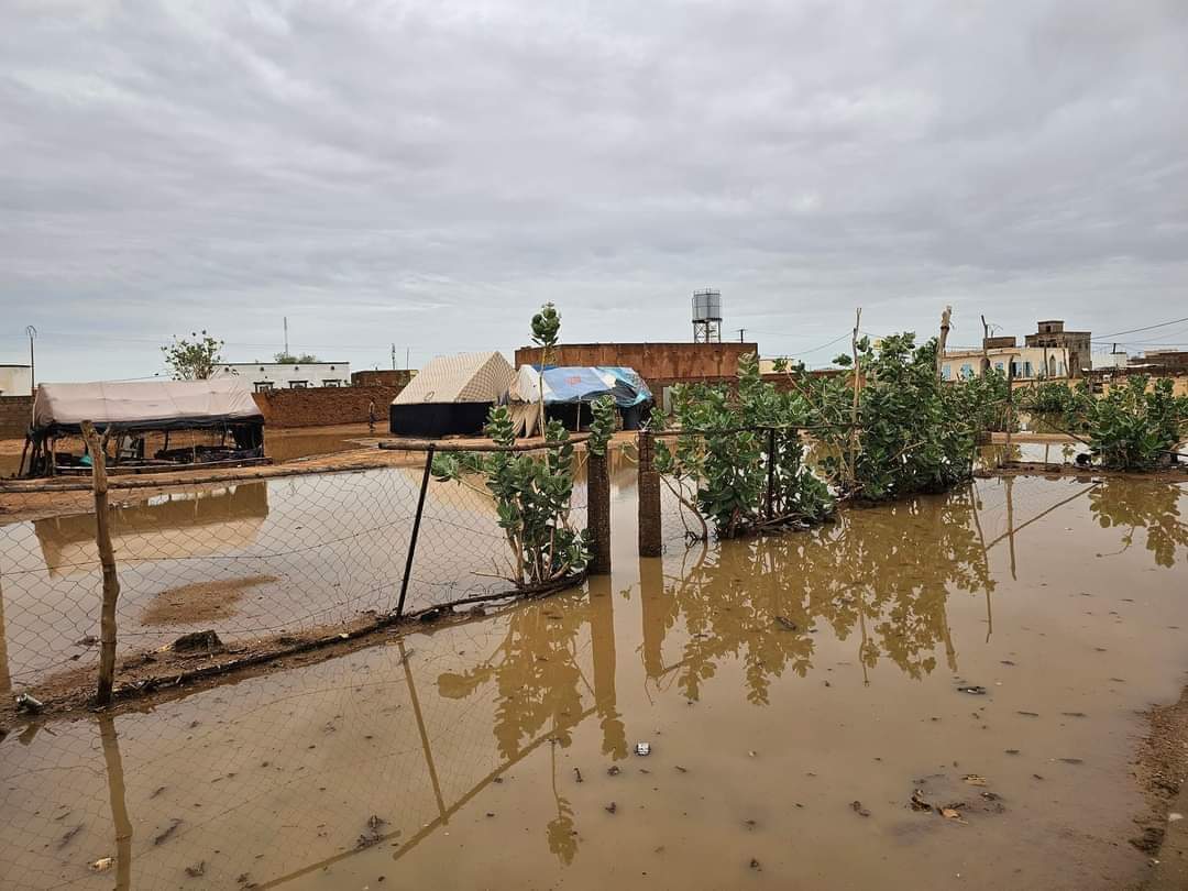
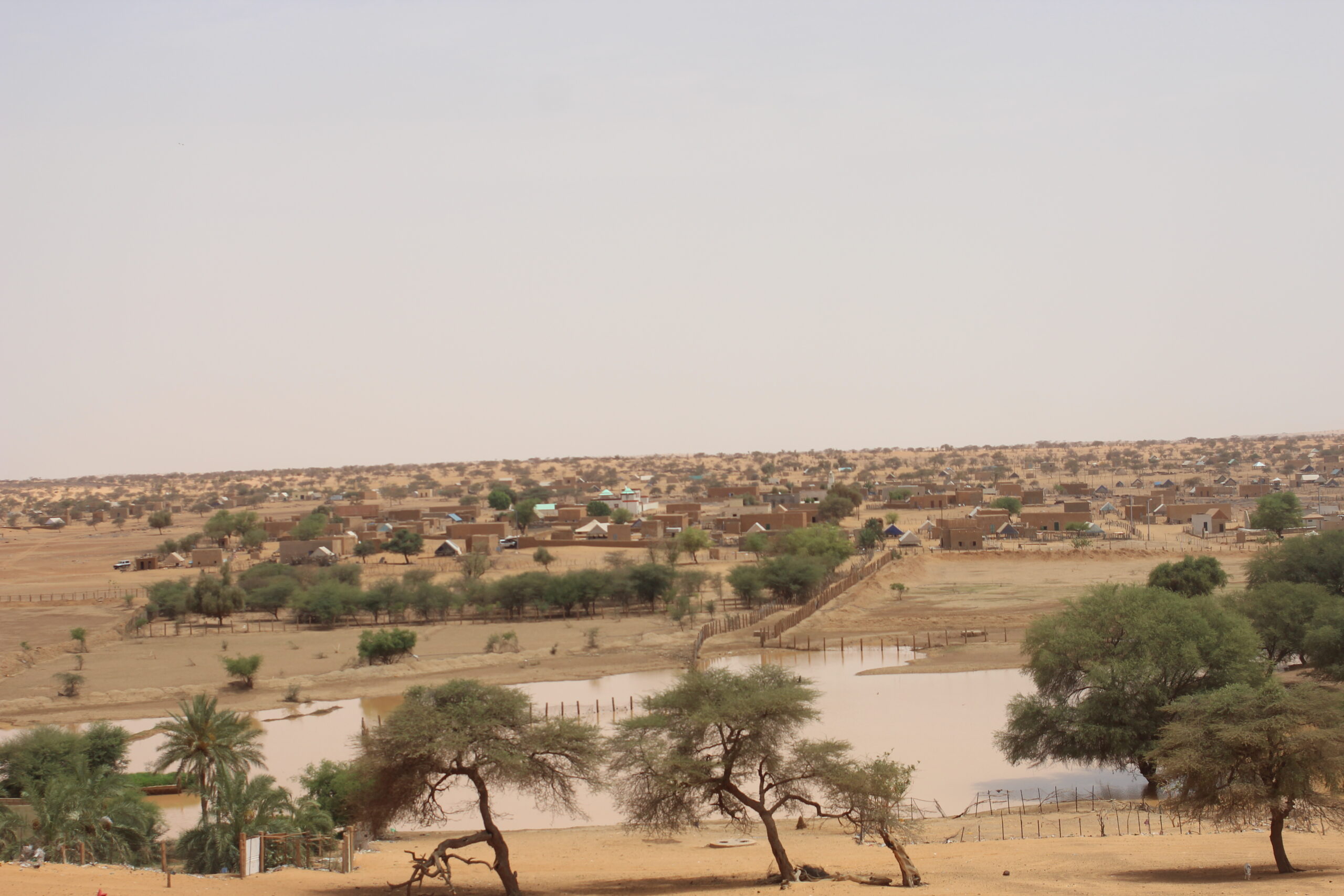
Tamchekett is known as a town of learning — of scholars, men of letters, jurists, thinkers and opinion-makers. It was founded in the 1920s around the French military post established in the area, and is today one of the departments of the Hodh El Gharbi region, whose capital is Aïoun; it comprises the communes of Radhi, Tamchekett, Es-Safa, Gaat Teidoum and El Mabrouk. The department lies between the golden hills of Aoukar and the mountains of the Afollé, on the ruins of the cities of Noudache and Awdaghost and on the soil of the Ghana Empire, land of the conquerors' great deeds. Despite its remoteness, its isolation and the heavy out-migration it has known, Tamchekett has never resigned itself to trailing behind the country's other departments: it has remained present in the life of the Mauritanian state through its religious, cultural and political contributions and through the prominent roles played by its sons, some of whom took part in founding the first nucleus of the nation. Thanks to its many plains and fertile pastures, the department is above all pastoral and agricultural. Today it is reasonably well served in essential facilities, and the Azrafiya–Tamchekett road has helped break its isolation, a link expected to anchor the population and transform many aspects of local life.
Guelta Metraucha
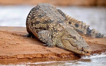
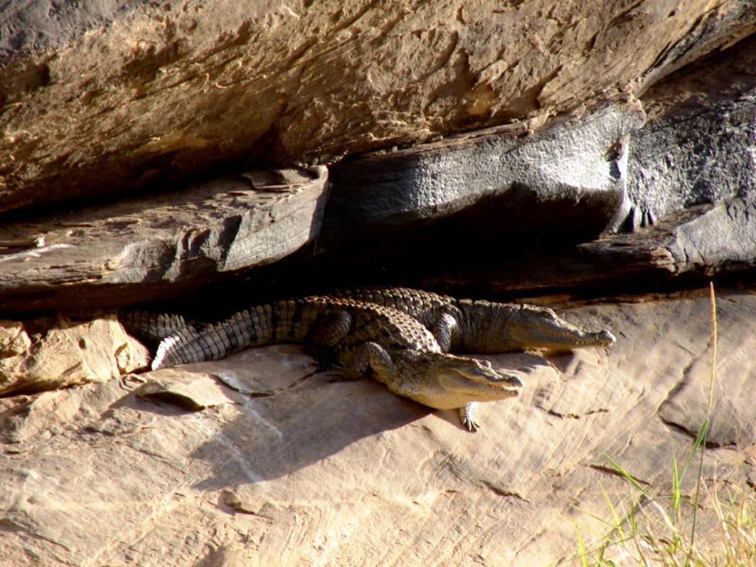
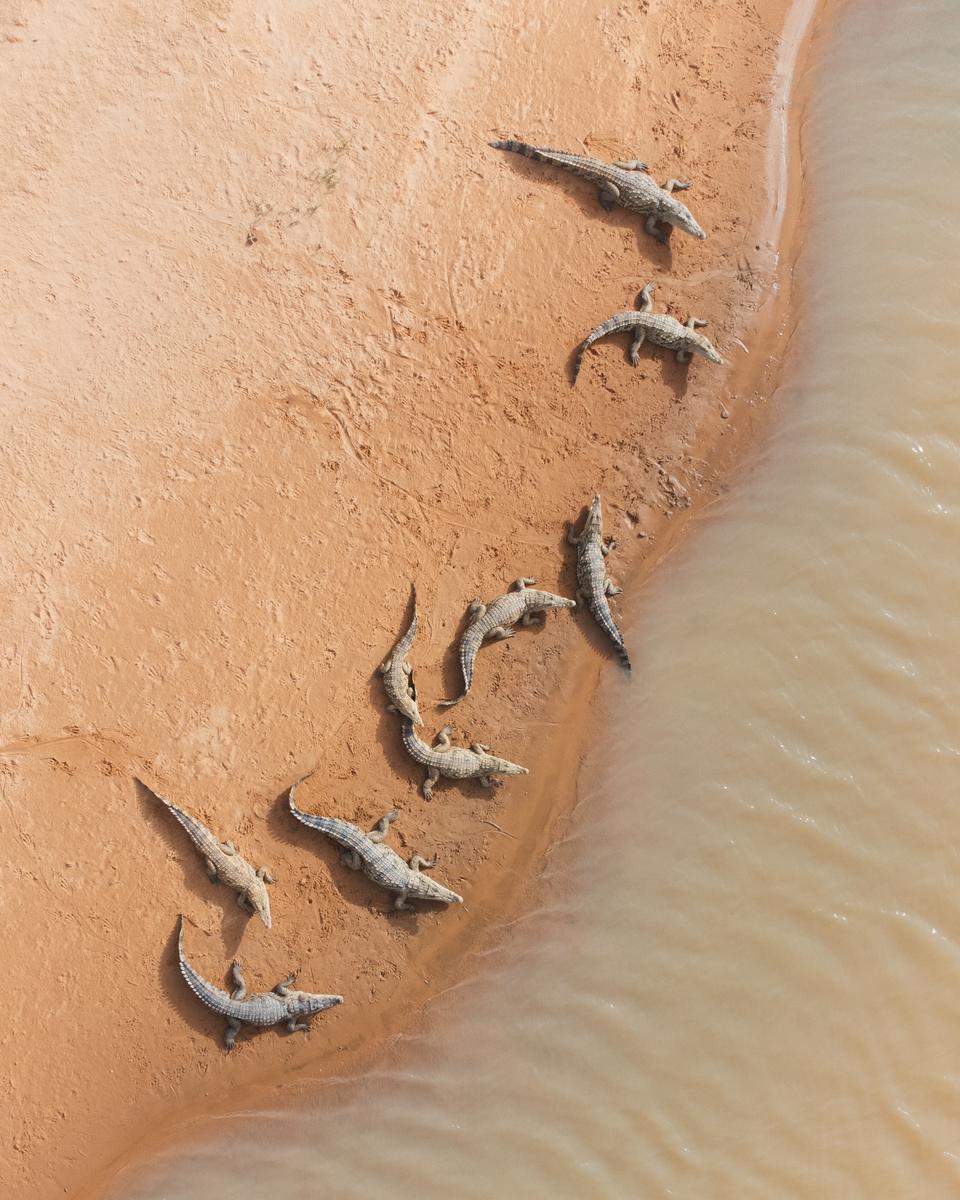
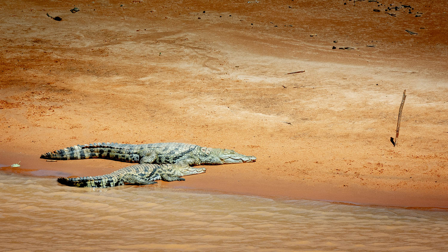
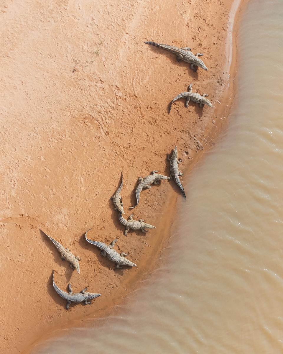
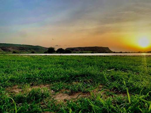
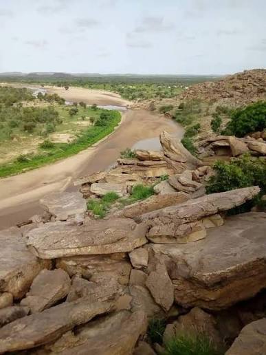
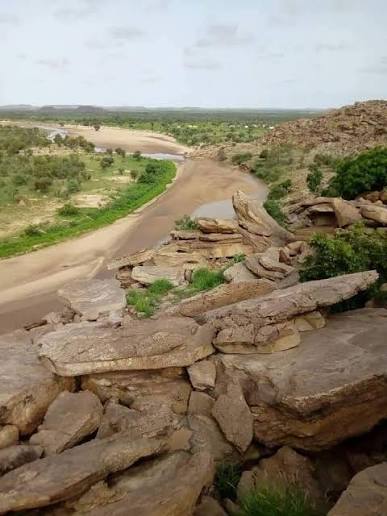
Guelta Metraucha is one of the few places in Mauritania where the rare West African crocodile still survives. For decades the species was believed extinct in the country, and it was only rediscovered in 1999; today an estimated thirty individuals remain in the whole of Mauritania. Seventy kilometres east of Kiffa lies the village of Foum el Cherat, near which the Tamourt Bougari turns each year, after the rainy season, into a lake and a complete ecosystem; five kilometres further along a dirt track lies the guelta itself. Unlike the many gueltas that fill only during the rains, Metraucha never dries out, since it is also fed by local springs — which, together with its rocky setting, sustains a remarkably full biodiversity. Besides the crocodiles, it shelters rodents such as the rare Felou gundi, along with snails, jackals and numerous baboons; because the water is permanent, several fish species live here too. The pool also serves as a drinking reservoir for herds of camels and cattle. The crocodiles are shy and usually slip into the water as soon as people approach, so the guelta is best watched from a higher rocky platform.
 2 ⬚
2 ⬚
Tamourt Bougari
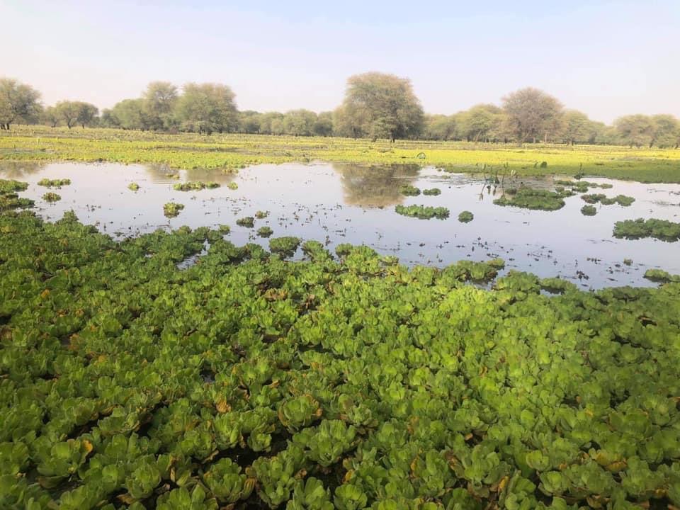
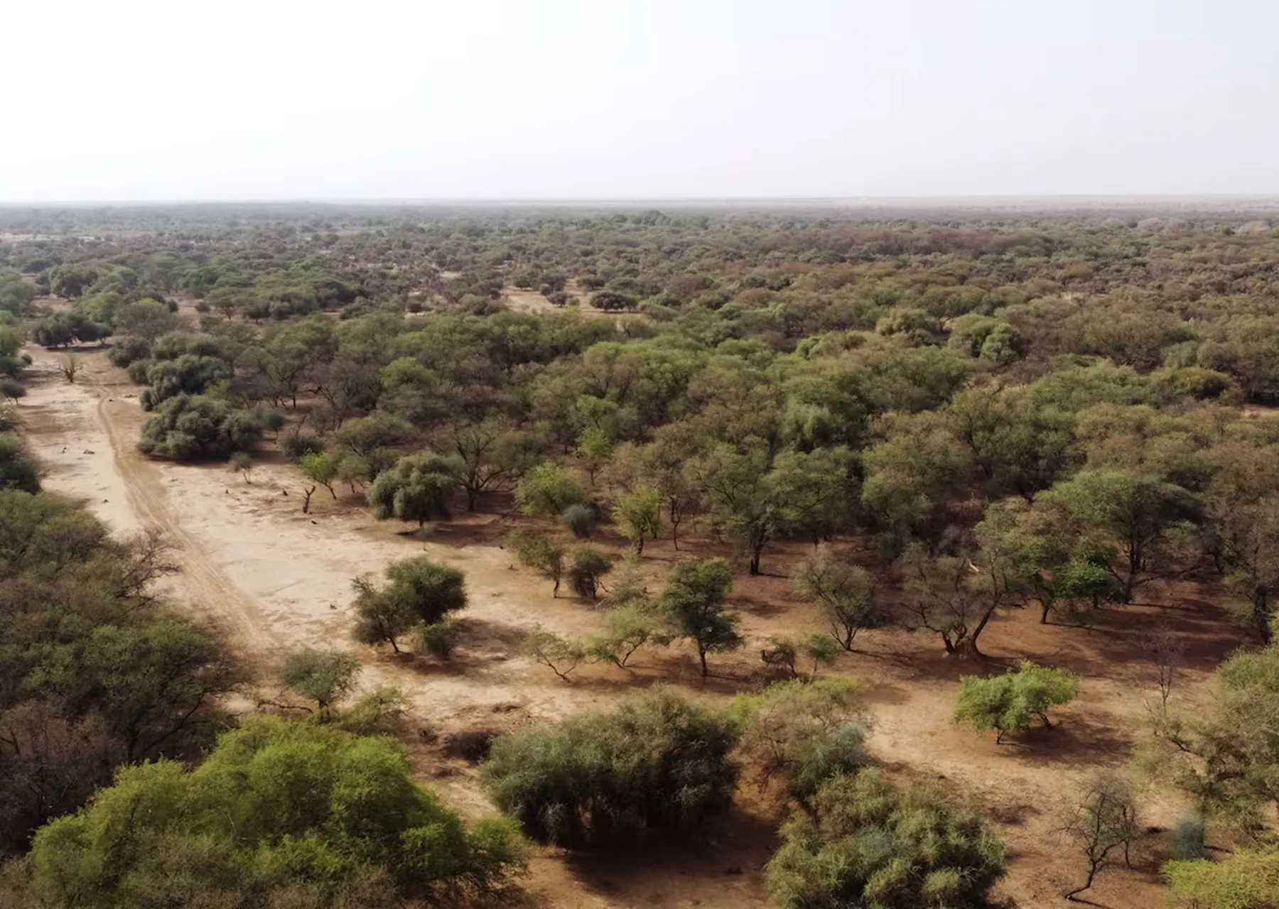
Tamourt Bougari is a broad wetland and seasonal marsh — a tamourt — in the Assaba region, near the village of Affam Likhdheiratt. Rooted in the geographical and historical dynamics of southern Mauritania, this natural basin fills after the rainy season and has long served as a vital watering point for herds of camels and cattle. The basin is marked by its stands of acacia, the gum arabic tree. The settlement of the region belongs to the great migrations that shaped the south-western Sahara, between Berber (Sanhaja) influences and successive Arab (Hassani) waves. The site is inseparable from the Guelta Metraucha, some five kilometres away along a dirt track: the guelta indirectly stocks Tamourt Bougari with fish during floods and shelters one of the country's rare populations of West African crocodile. As with the wider history of the region, the pastoral lands of the Tagant and the surrounding Assaba have long been corridors for nomadic tribes, shaping Mauritania's cultural and economic history.
Guerrou
Gateway to eastern Mauritania, Guerrou lies in the Assaba region, 50 km west of Kiffa on the Road of Hope, the highway linking Nouakchott to the east of the country — making it a natural stopover for overland safaris heading into the deep Sahara. The district holds the largest date-palm oases in eastern Mauritania, spread across Tegdiyoun, Jouk and Kamour, an ideal destination for oasis tourism. During the guetna, the date-harvest season that follows the rains, the town comes alive as visitors gather for the milder weather and fresh dates among valleys, plains and striking plateaus. Natural freshwater courses such as Irigui, El Ghayra Guettara and Aweinet Lahbara draw migratory birds and wild-camping enthusiasts. Culturally, Guerrou is a historic centre of Islamic learning and Sufi tradition whose mahadras helped spread Chinguetti scholarship worldwide, and the birthplace region of noted scholars such as Muhammad al-Amin al-Shinqiti. Visitors experience authentic Bedouin life and renowned local hospitality.
Kankossa
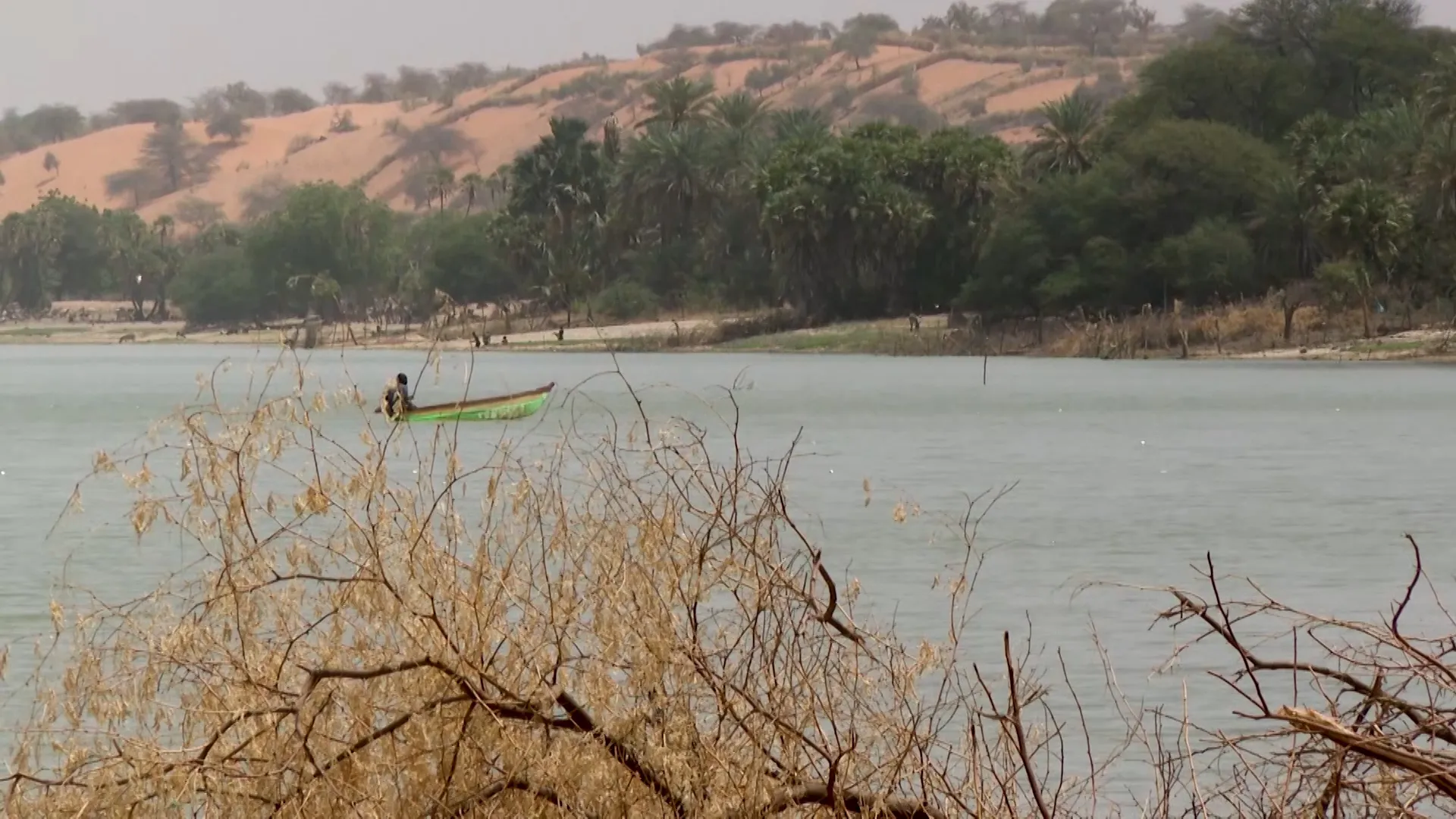
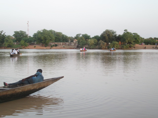
Set in the Assaba region, Kankossa is one of Mauritania's leading ecotourism and domestic-travel destinations, thanks to its famous permanent freshwater lake, which turns the surrounding desert into a lush green oasis. The lake is the lifeline of the area and its greatest attraction: visitors glide between its banks aboard small traditional rowing boats and stay for the spellbinding evening views, where greenery and open water meet at sunset. Tourism peaks during the rainy season and the guetna date harvest, when the whole area is dressed in vivid green, palm groves fill up and families gather at the shore to rest and picnic amid a striking mix of golden dunes, plateaus and nearby valleys. Kankossa also offers a window onto traditional rural life and the warm hospitality of its people. Lying at the heart of Assaba, it makes an excellent base for exploring the rest of the region, including the Afollé mountain range.
 3 ⬚
3 ⬚
M'Bout (Gorgol) — The Foum Gleita Dam and the Fields of the South
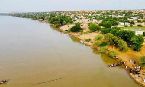
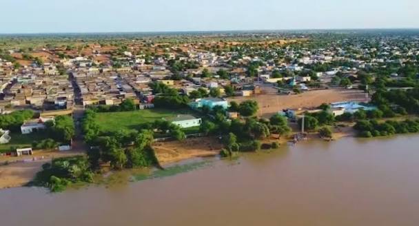
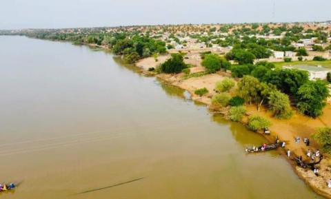
M'Bout is an urban town in southern Mauritania, in the Gorgol region, and the administrative capital of the department of M'Bout, one of the most populous in the region. It lies in the southern part of the wilaya, about 100 kilometres from Kaédi, bordered to the north by the department of Kaédi, to the east by Monguel, to the south by the Senegal River and to the west by Maghama. It was formally established as a town by government decree on 20 October 1987, and its department counts around 132,465 inhabitants according to the 2023–2024 census — the highest population density in the region. Its economy rests on notable natural and water resources: farming first of all, both rain-fed and flood-recession, thanks to fertile land and proximity to the river; then hydraulic infrastructure, above all the Foum Gleita dam, one of the largest in Mauritania, which supports irrigation and agriculture on a wide scale; and finally cattle and sheep rearing, which contributes to local food security. Because of its environmental fragility and its history of flooding, the department has benefited from emergency programmes worth some 13 billion old ouguiya for infrastructure, water networks, education and health services. For visitors, M'Bout offers a face of Mauritania that is rare: the reservoir of Foum Gleita and its expanses of water drawing birds and fishermen, green flood-recession fields along the valley, rural villages living to the rhythm of the farming season, and a cultural blend of southern communities visible in the markets, the music and the food.
Lebheir (Assaba) — The Bride of the Aftout and Its Natural Lake
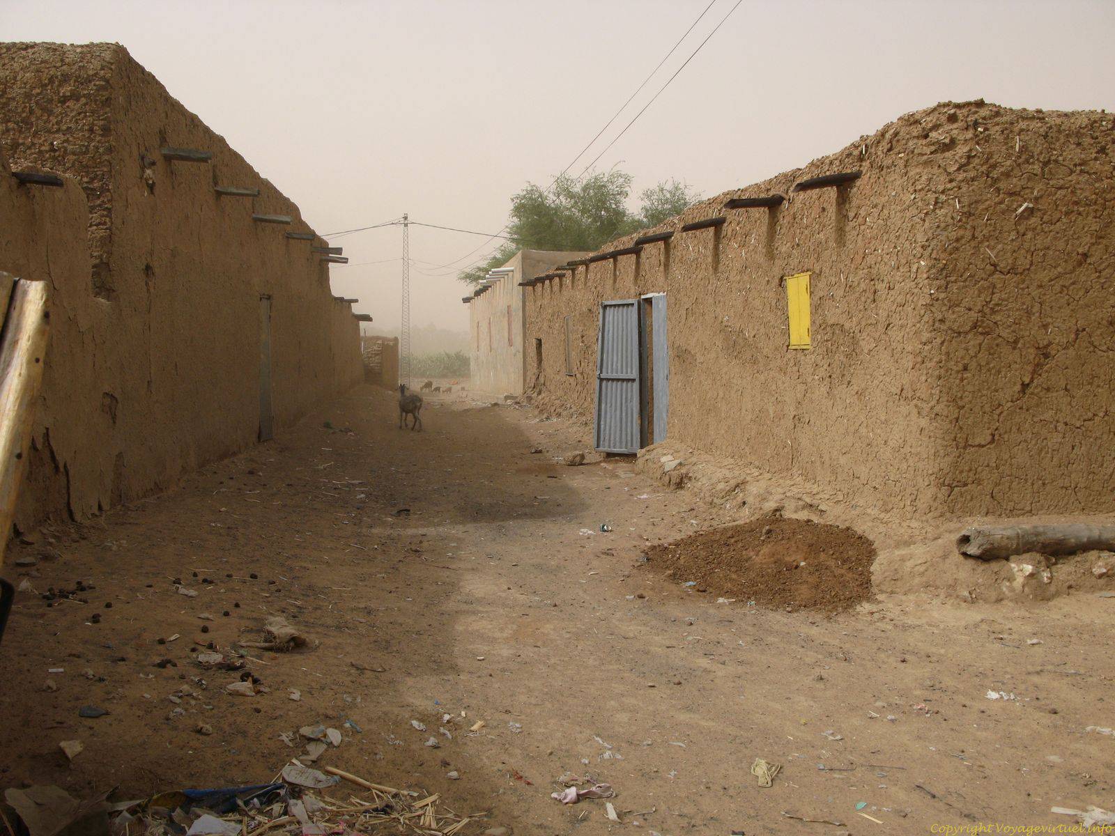
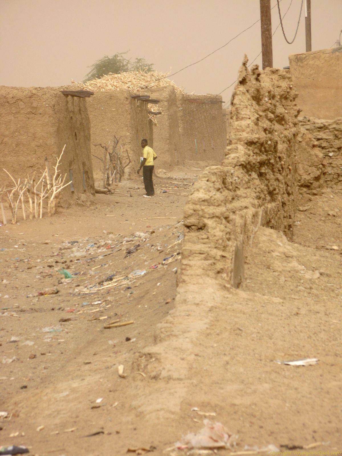
Lebheir is a Mauritanian town and commune in the department of Barkéol, in the Assaba region of south-central Mauritania, attached administratively to the Laouissi centre. It lies within the historic Aftout area and is nicknamed "the bride of the Aftout" for a combination of landscapes rarely found in one place: golden dune islands interlocking with plateaus and green valleys, as though the desert and the Sahel met in a single picture. Its centrepiece is Lake Lebheir, a striking natural surface lake and one of the region's foremost tourist attractions, especially in the rainy season, when its level rises, its banks turn green and it becomes a meeting point for people, herds and birds. It is at the same time the lifeline of the local population: livestock are watered here, traditional fishing is practised on it, and vegetable gardens and oases spread around its shores. The lake nonetheless faces a real environmental threat from encroaching sand, which has led the commune to ask the government to dredge it and stabilise the surrounding soil so that it does not dry out. The commune has several essential facilities, among them Lebheir primary school, Lebheir secondary school and a local health centre. For the visitor: walks along the shore, birdwatching, climbing the dunes for a view over the valley, and meeting people who know exactly what their water is worth.
 5 ⬚
5 ⬚
Soufa (Assaba) — A Rain Country between the Plateaus and Plains
Soufa is a rural locality in central and southern Mauritania whose name appears most often in seasonal rainfall bulletins — which says something about its identity: a place whose life is measured in rain. It is historically situated within the sphere of the Assaba region and the neighbouring areas of the Gorgol and the Brakna, where three environments meet within a narrow span. The Assaba is defined geographically by its rugged rocky plateaus and mountain passes, which separate fertile plains such as the Rgueiba area from depressions such as the Aftout; locally these narrow passes and heights are called "moudhiq", "foum" or "mortafaa", the best known being the height of Jouk. It is in this frame that Soufa makes sense: a point in a country where seasonal run-off decides where to sow and where to graze, and where the plains turn after the rains into pastures that draw herds from every direction. The region also holds natural landmarks worth the journey: palm oases stretched between rocky slopes, such as Ras El Fil and Kamour, and surface lakes such as the lake of Kankossa, which cuts through the town, and Lake Lebheir. A visit to Soufa is therefore not a visit to a single monument but a doorway into the heart of the Assaba: mountain passes, greening plains and villages living to the rhythm of the season.
Gallery